Showing posts with label Whitewater Kayaking. Show all posts

Wednesday, December 23, 2015

SF McKenzie - French Pete to Slide Creek (OR)

The South Fork of the McKenzie (above Cougar Reservoir) is one of those runs that has always seemed to allude me. Although it's not an extremely common run, it does have a brief write-up in the local guidebook and I've had multiple boaters tell me that it was well worth doing, especially when other local runs are a bit high. Probably the main reason I hadn't done it yet was due to the fairly short season that it's boatable, as least for the section that holds the best rapids. You see, for most of the year it is inaccessible; not because of snowpack or a locked gate, but because it's actually hidden beneath Cougar Reservoir, when the water level is higher.


The elevation of the reservoir was ~1560' (the 19th), you wouldn't want it much higher. 

According to the guidebook the run is 8.5 miles long. However; since the upper half of the run was also stated as being fairly uneventful, we decided to put-in about a half mile above French Pete Campground, at a road bridge that crossed the river. Bobby, who was the only person in our group who had done the run, confirmed that the upper stuff probably wasn't worth doing from a whitewater standpoint, especially with all the wood that they had encountered. From our put-in, we would have ~3.5 miles of river to the take-out, at Slide Creek Campground. As for flows, we would have ~2,300cfs, which was considered a good amount of water for this run!


Our flow - ~2,300cfs

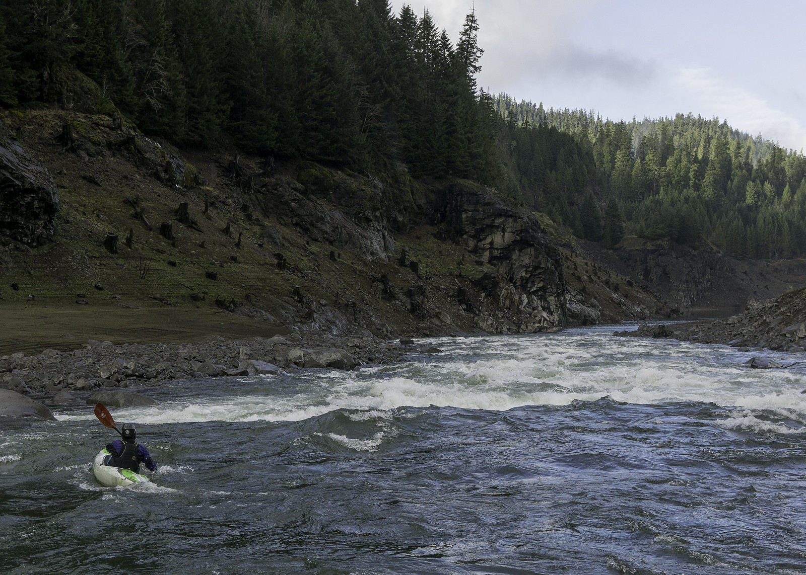
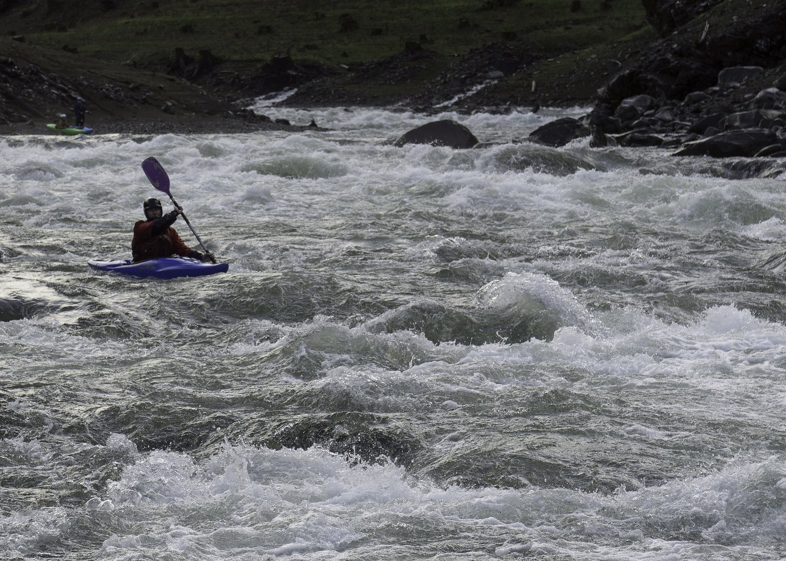
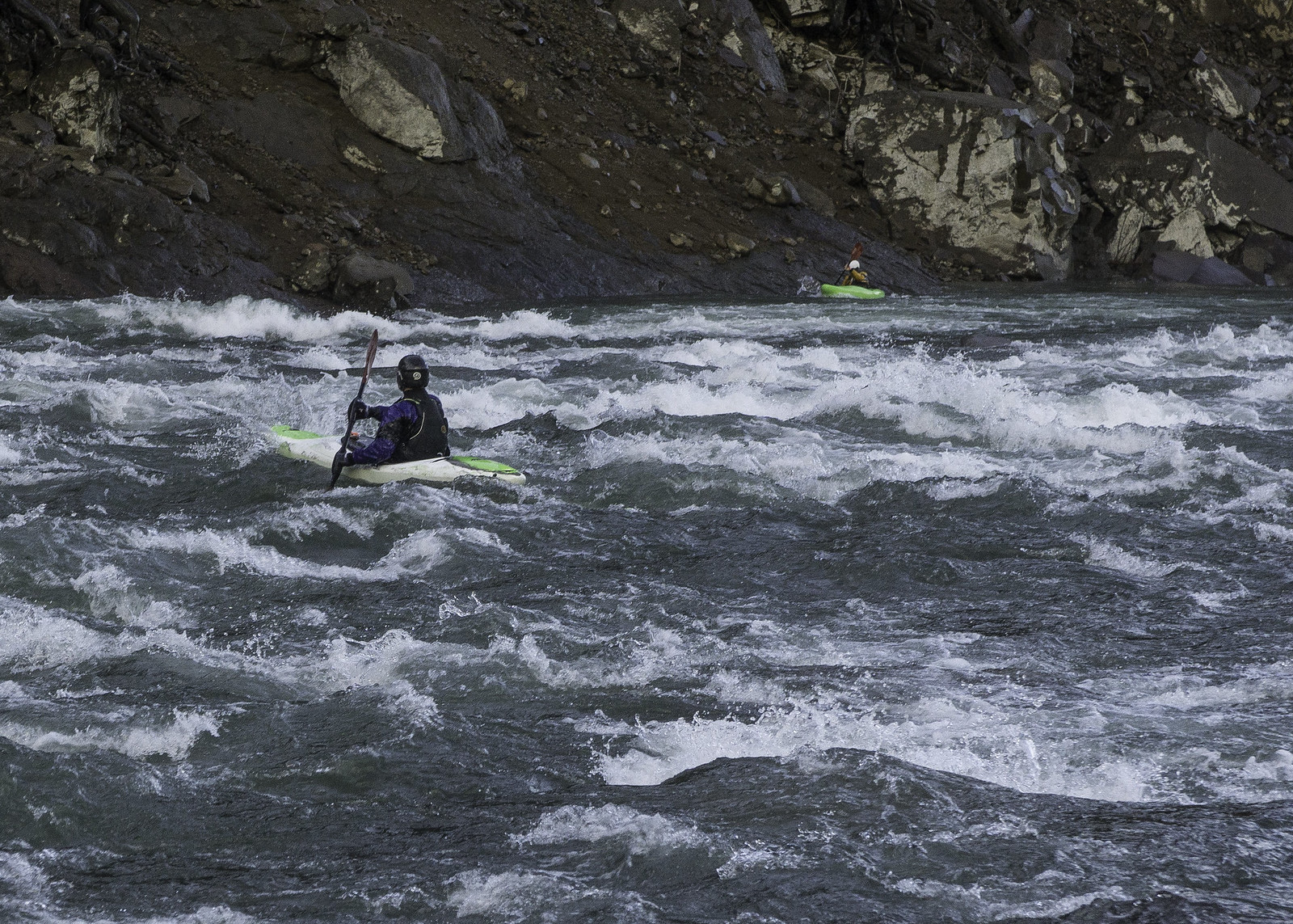
As I peeled out of the eddy and passed underneath the bridge, I could feel the power of the river carrying me downstream. Since I typically paddle steeper low volume creeks, it always takes a little bit of time for me to adjust to the bigger water. The first two miles of river, between the road bridges, pretty much ran together -- continuous class II+/III with some hole dodging here and there. It actually reminded me a lot of the Upper Upper Calapooia at high water. Since there weren't many eddies or discernible drops in this first half, I didn't stop to take any photos, but it's basically just a read-n-run type affair.


Looking downstream, from the put-in bridge

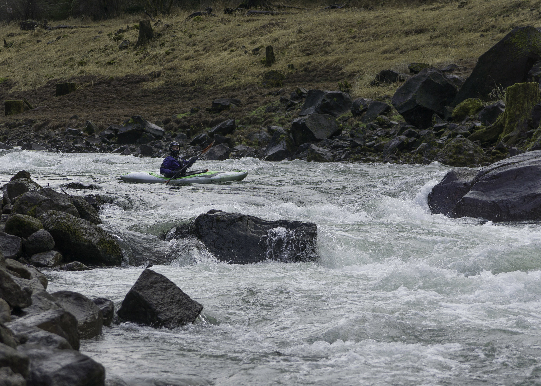
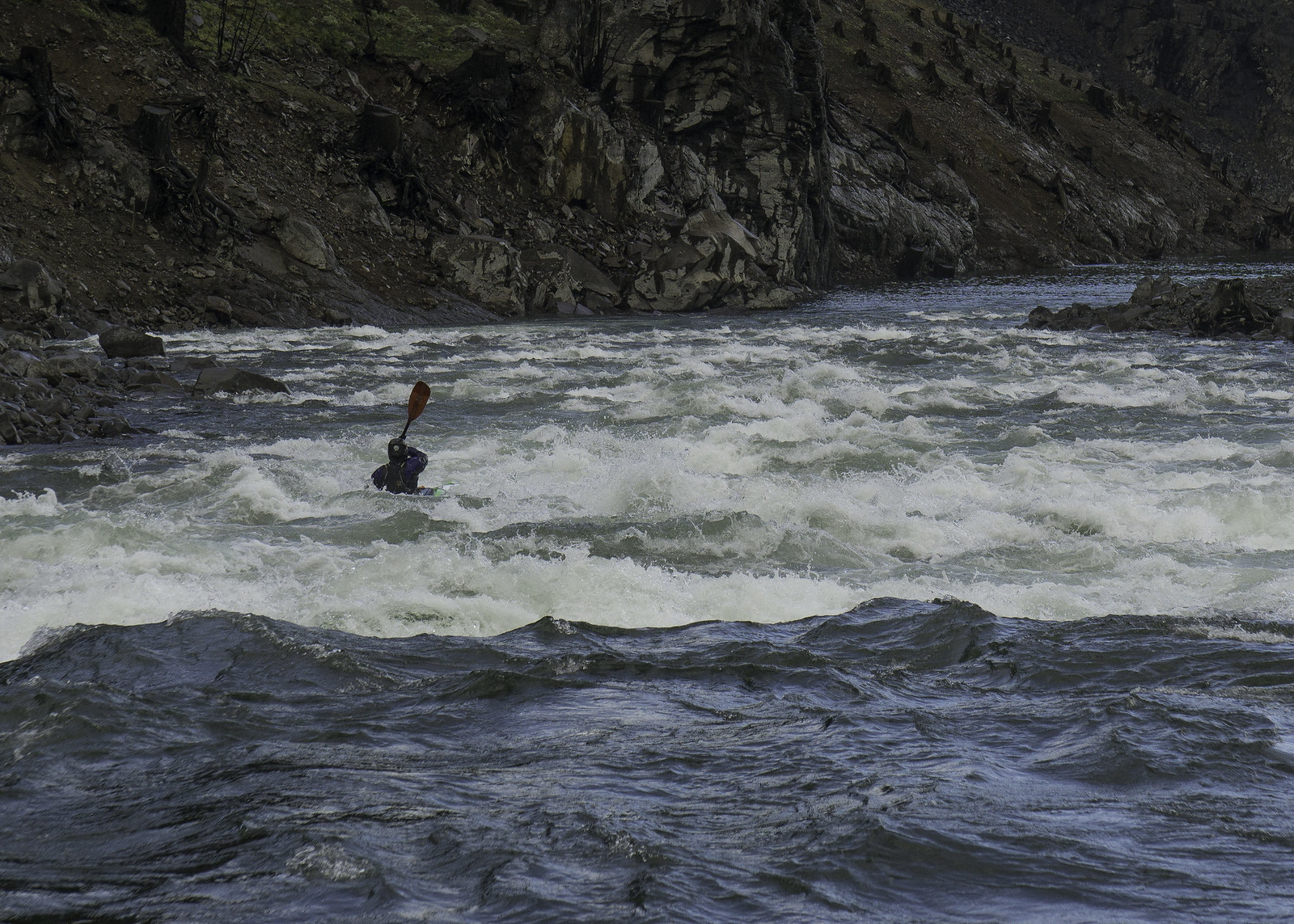
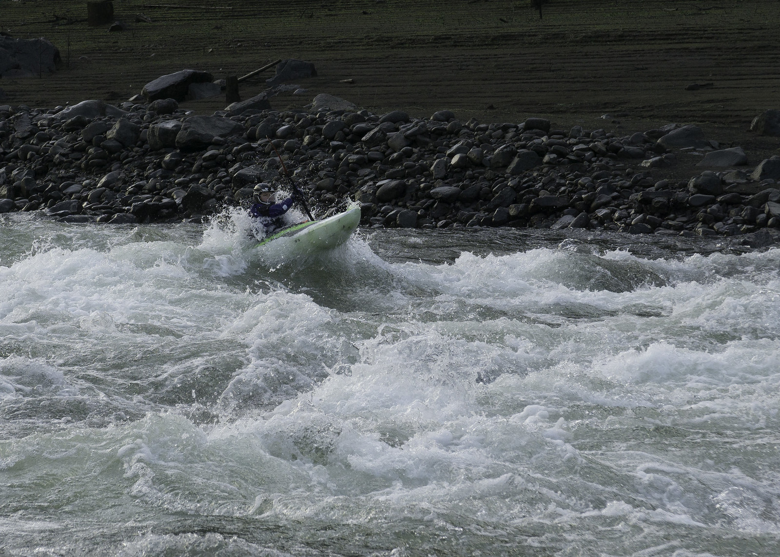
Below the bridge (Cougar Crossing) the river mellowed out for a short distance as we entered the section that is usually concealed by the reservoir. We eventually reached a larger horizon line and the river disappeared around a right-hand bend. I was certain that this was the one drop we had seen from the road, with the dominant landmark being a large cliff wall that the rapid banked off of at the bottom. Even though we were able to scout it from the road, that was from ~200’ above the river and looking straight down, which only gave us a general understanding of the layout but little indication of how big it would feel once we were in the middle of it. Since I wanted to take some photos anyway, I jumped out on river right to take a quick peek at the drop. From river level it looked fairly straightforward – there were multiple line options with a few wave holes to be aware of, although none looked particularly sticky. The largest hole was actually at the bottom, spanning the whole right side of the river. After giving me a little bit of time to get out my camera and set-up for a shot, Roman dropped in, starting right and finishing center-right. He ended up hitting the gut of the bottom hole but punched through with relative ease.


The first major rapid after the Cougar Crossing bridge (from the road)

Roman gets ready to drop in

Roman, partway through.

Pitts deep in the bottom hole

Finishing up

For my line, the plan was to start right but drive harder left, hitting the soft spot of the hole and riding the run-out that banked off the cliff wall. It ended up being a pretty fun drop but got a little exciting when I dropped into a diagonal hole, which I had misjudged the size and spacing of during the scout. Luckily I made it through unscathed and met up with Roman in the eddy below. Since Scott and Jim hadn’t yet dropped in, I decided to head down and set-up for photos on the next drop while the others waited for them.


Scott finishes his run while Bobby looks on

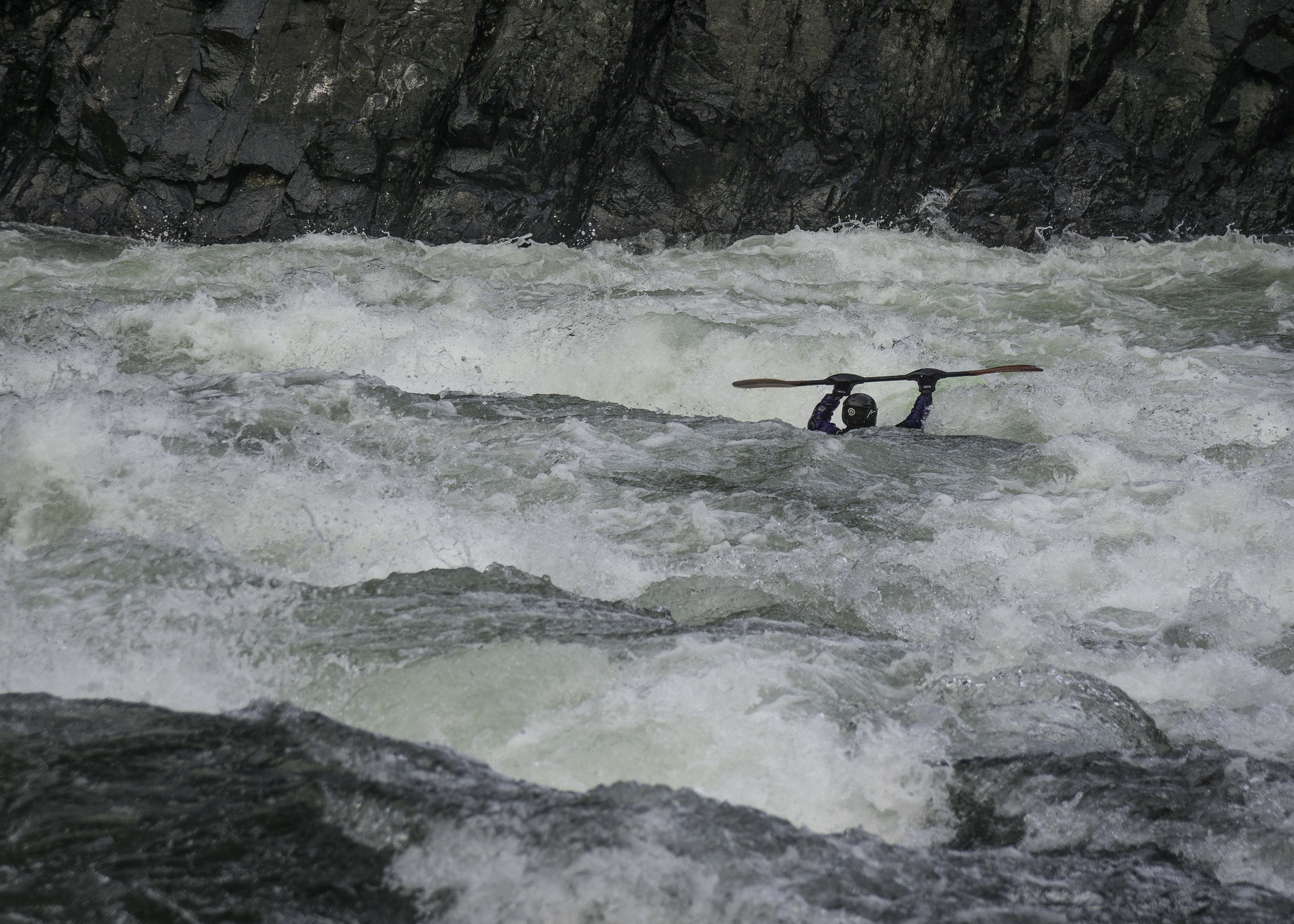
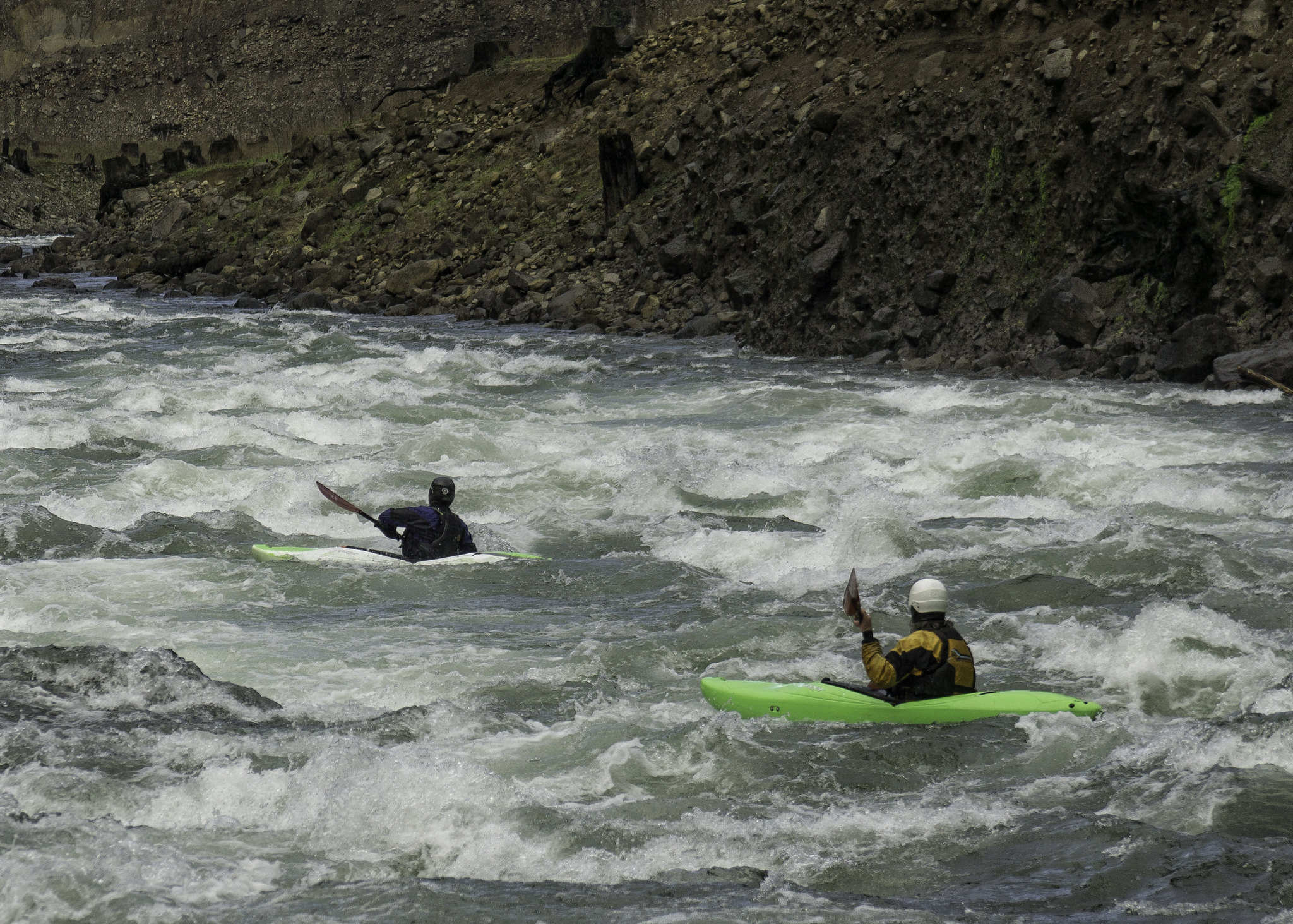
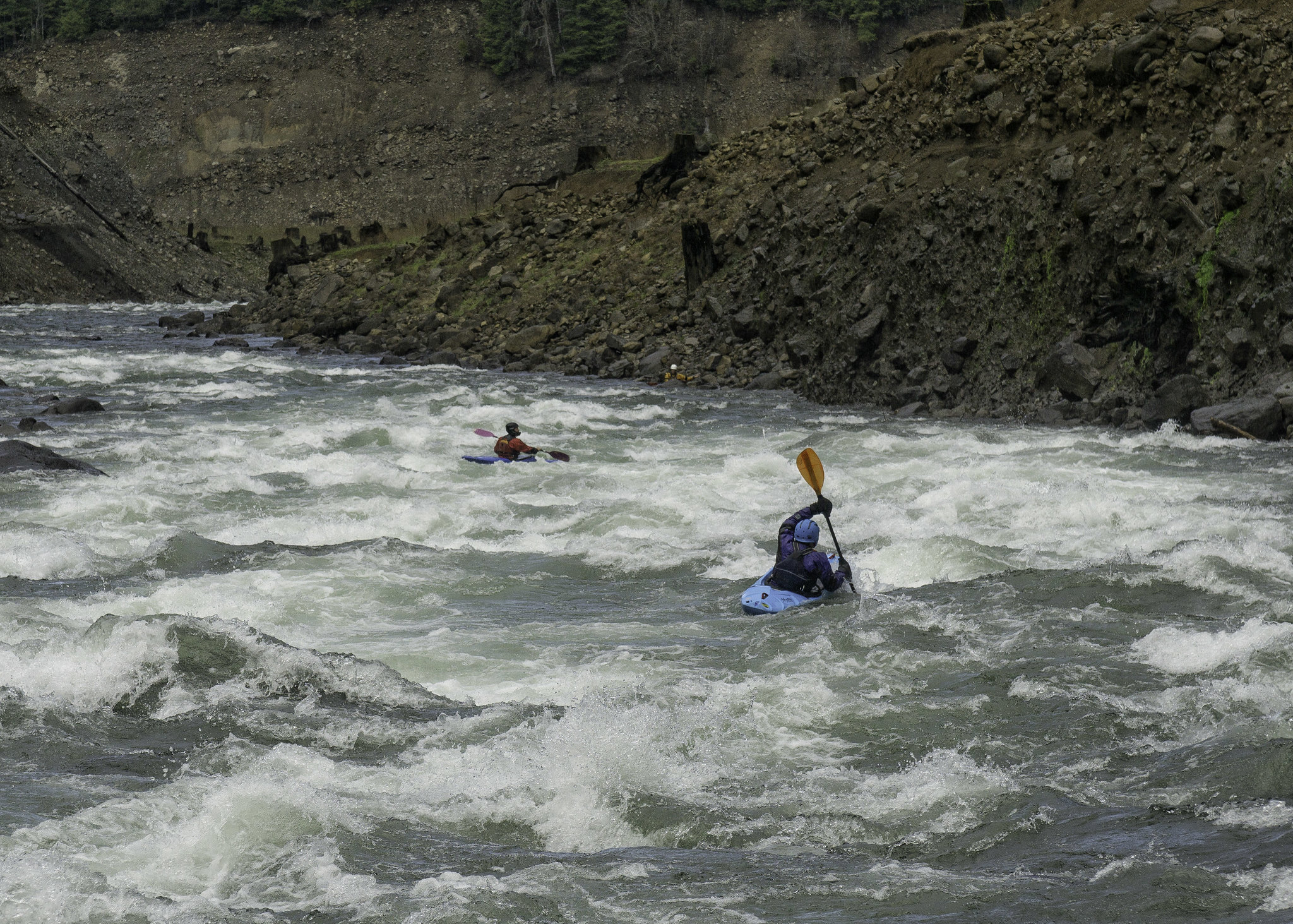
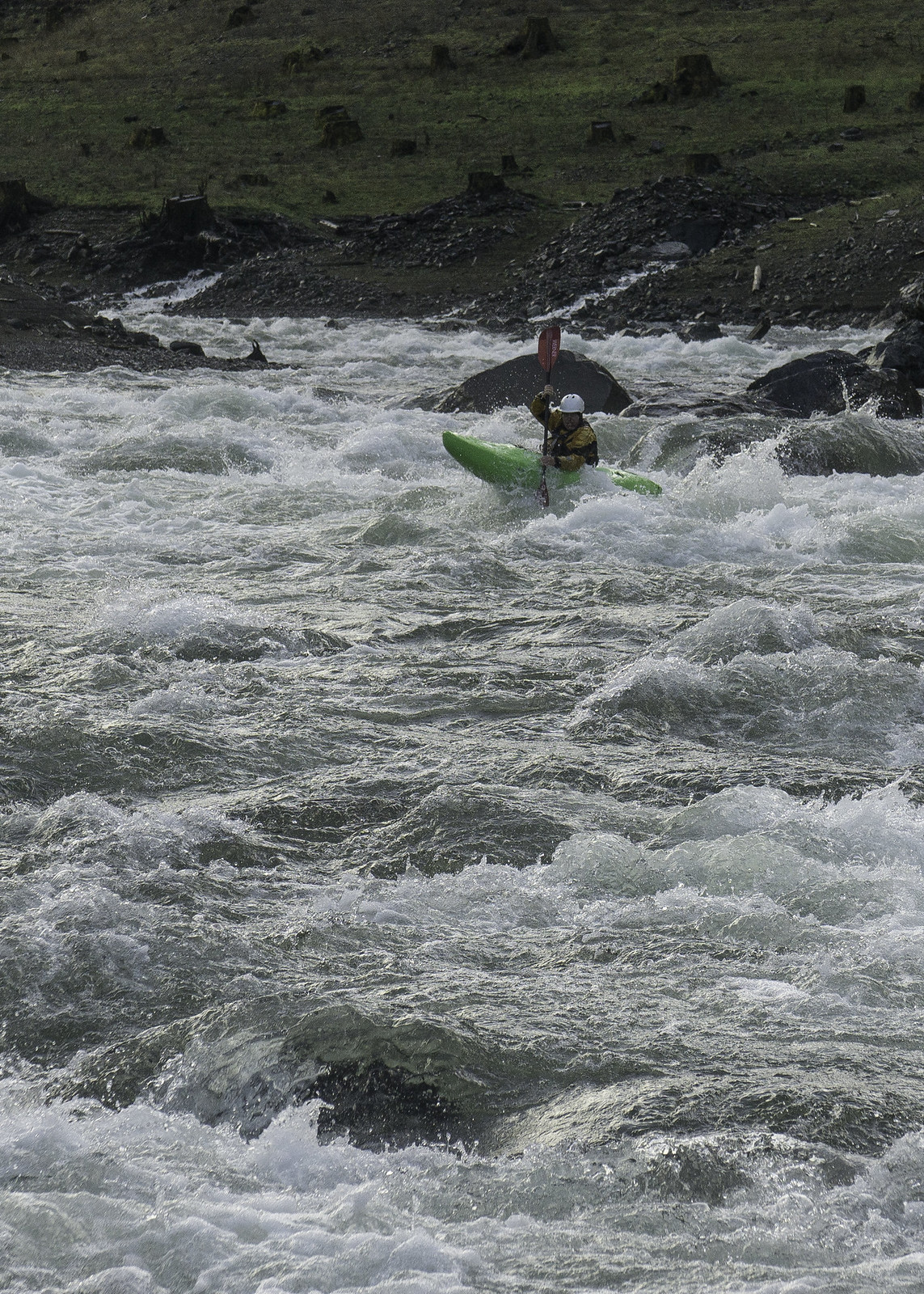
The next rapid in line was much longer and also appeared to be a bit more spicy. From my vantage point, there appeared to be a rather large hole guarding the entire right side of the river about halfway down. Since there were also some holes on the left near the top of the rapid, the best approach seemed to be starting right and then working toward the center-left of the river. After giving verbal beta to the others, I took photos as they passed by one-by-one and dropped in. Sure enough, the hole down the right did present some excitement and even a flip, but luckily everyone made it through safely and were waiting in the eddy below. Now my turn, I followed my planned route and was feeling pretty good about how I was set up. Unfortunately, I wasn’t able to cut to the left as well as I would have liked and ended up dropping into the edge of the hole -- sideways of course… I instantly leaned into the pile and dug in with my paddle, freeing myself from its grips. What I hadn’t seen from my scouting platform was that it was also backed up by another hole, which I also dropped into. Fortunately I was able to hit the second one straight on and got in enough of a stroke to blast through. The second half of the rapid mellowed out and I was soon eddied out with the others, where we shared stories about our battle with the double-hole.


Jim enters the second big rapid

Roman and Bobby, in the thick of it.

Scott about to encounter the double-hole

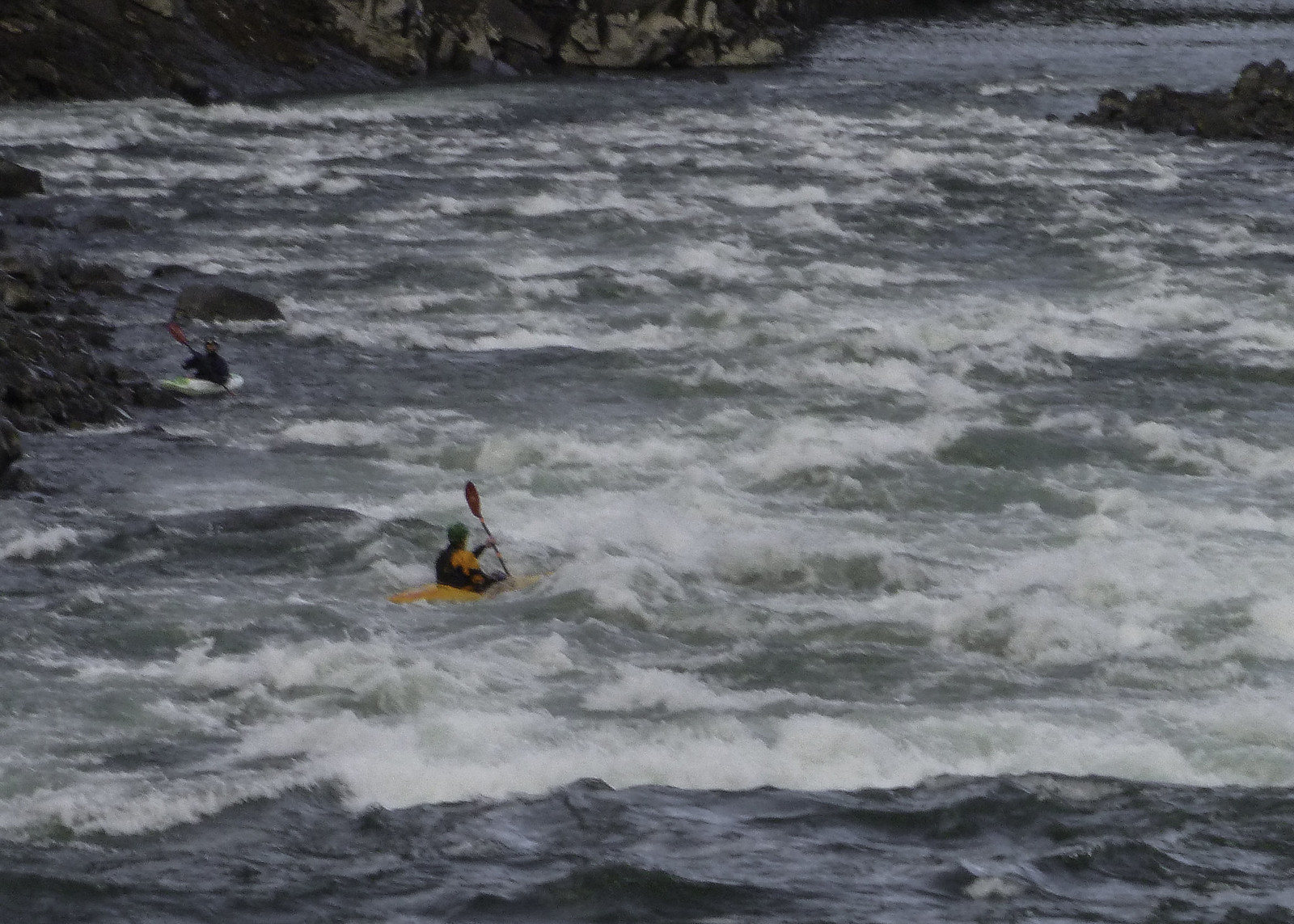
The next section of river went around a couple bends of continuous read-n-run rapids -- although they were pretty straightforward they were also plenty of fun and only added to the run as a whole. Before long, we reached the last rapid of the run, which was another long one. The main obstacle here was actually the top guard hole, which spanned almost the entire width of the river. There was a tongue down the left, which definitely looked like the best way to enter the rapid. From there you would need to make a move back toward the center of the river to avoid a rock pour-over, but once past that it looked like easy sailing all the way down to the calm waters of the reservoir. Once again I took photos while Roman dropped in. As expected, he greased the line and eddied out on river left about halfway down the rapid. I went next with essentially the same line, although I broke right after the rock pour-over and eddied out further down where I could get some photos of the rest of the crew coming through.


Roman enters the final rapid, stage left.

Making the cut around the rock pour-over (to his left).

The author takes his turn
(photo by Jim Reed)

Bobby, drivin' hard.

Jim gives chase

Roman reenters the final rapid

Finishin' up

With everyone now safely down at the reservoir, I packed up my camera gear and headed down to join them. There was one more fun airplane move at the very bottom left, which I graciously took advantage of. With just a short flatwater paddle to the boat ramp, we soon found ourselves beached on the muddy river bed. This only added to the effort of getting up to our car, which was all the way at the road, since the gate to the campground was locked. The hike out was only a quarter mile, climbing ~150 vertical feet, but it was certainly enough to wind me a bit and dissuade me enough from doing another lap.


Jim, stoked to bag another new run!

An end to a great day on the water!

Conclusion:
I’m really happy that I was finally able to bag this run – it was super fun and like the others had said, well worth doing. Although I wouldn’t call it a classic, it’s a great option when other runs in the area are too high for comfort. As mentioned earlier, the best part of this run is under the reservoir for most of the season, therefore your best bet is to get on it during late fall / early winter, before they start filling it up. Luckily there is an online gauge that can be used to determine the water level (found here). It was at ~1,560’ on this day, which just left the rapids uncovered; in other words, you wouldn’t want the water elevation to be much higher. As for flow, we had ~2,300cfs (gauge found here), which I would consider a good medium flow. The holes would certainly get bigger and the rapids pushier at higher flows but I’m guessing it would still be very manageable with another 1,000cfs. As for lower flows, Bobby had done it with about half the flow and said that it just becomes a more technical boulder garden affair, similar to the final rapid on Blue River (below the Mona bridge). Since we didn’t do the top 5 miles listed in the guidebook I can’t speak to the quality of it, but according to Bobby it’s really not worth it, especially with all the wood they encountered. It seems that the general consensus is that the last 3.5 miles that we did is definitely the best part and the reason for doing the run. All of that said, I would certainly do this run once or twice a season, especially with a tad more water. BTW, it would also be a fun run in a playboat – just a little more exciting!

Additional flow/water level info:
Along with the two links above, a nice resource for determining conditions can be found here:
http://www.nwd-wc.usace.army.mil/nwp/teacup/willamette/

Saturday, January 31, 2015

Upper NF Smith River (Oregon Coast Range)

DSC08209-2

The NF Smith (Oregon Coast Range) has been on my radar for many years, after having it mentioned to me on a few separate occasions by some of the pioneers of kayaking in this area. I was told that you could hike ~2 miles to the base of Lower Kentucky Falls / North Fork Falls, where you'd put-in and be treated to continuous class III/IV bedrock rapids. I wasn't sure how long the run actually was, but after looking at the topo maps, a road bridge was located ~5 miles downstream – a perfect length for a relatively obscure run. Another thing that I was told was that you needed quite a bit of water for it to go, and the best online gauge to use was the one located on Siuslaw River (at Mapleton), where you’d want a reading of ~15’.


I had actually come close to doing this run on a few different occasions, but plans always fell apart at the last minute – it can be pretty difficult to convince people to go do a run like this when other more well-known ones are in, especially when it requires a hike in and a high potential for wood. Then out of the blue, my buddy Jacob texted me to see if I was interested in finally checking it off the list. Of course, without hesitation, I jumped on board.

Along with Jacob, we’d have Lucas & Kory coming from the north, and from Eugene, Roman, Emile, Ben and I would be rounding out the boating crew for the day. Since we’d be coming from different areas, we decided to meet up on Hwy 126, about 15 miles west of Eugene. When we got to the meeting point, at least one in the group expressed concerns about the quality of the whitewater on the run. Apparently he had hiked along it at lower flows and felt that it didn't have enough gradient to be worth it. This certainly contradicted both the beta that I had received from others who had done it as well as my own topographic research, which indicated that it averaged ~100fpm over its 5 mile length. Of course this did have me second guessing the potential for good whitewater, but after a couple of phone calls re-validating the original beta and not having a good backup plan, we decided to move forward with the mission.

The drive to the Kentucky Falls trailhead, from Eugene, leads you through a maze of forest roads in the Oregon Coast range, as well as through some rather large and obnoxious clear cuts. It’s actually quite surprising that such a popular hiking destination is so hidden away. Once we finally arrived at the trailhead, we quickly changed into our boating gear and headed down the trail with our boats on our shoulders. In less than a mile, the trail reached the top of Upper Kentucky Falls, where it fell nearly 100’ onto a jumble of rocks, rendering it completely unrunnable. The trail eventually snaked its way down toward the base, providing a good place to take a quick rest as well as some photo ops. Just below the falls, the creek continued to tumble down the hill over a cascading drop, which looked marginally runnable if not for some unfortunately placed wood. As the trail continued to parallel the creek, more steep whitewater continued, although knowing that we still had a mission in front of us, we didn’t stop to see if it would have been worth putting on the small side creek.


20150118_120553-2
Looking over the lip of Upper Kentucky Falls
(photo by Priscilla Macy)


DSC08135-Edit-2
The crew making their way down the trail, around Upper Kentucky Falls


20150118_121147-2
Photo op, at the base of Upper Kentucky Falls
(photo by Priscilla Macy)


20150118_121356-2
Hiking past the cascade below Upper Kentucky Falls
(photo by Priscilla Macy)


20150118_121544-2
The bottom half of the cascading drop below Upper Kentucky Falls
(photo by Priscilla Macy)


After crossing over Kentucky Creek (via a small footbridge), the trail led us up and over a ridge, before dropping us down into the NF Smith drainage. From here, the trail headed down a series of switchbacks and upstream a short distance to one of the most amazing put-ins I’ve been to. It’s at this point that Kentucky Creek and the NF Smith converge, after each drops over equally impressive waterfalls. Just with Upper Kentucky, Lower Kentucky Falls dropped onto rocks, and although it was hard to tell, I would assume that NF Falls did the same. After taking in the view for a few minutes we finally hiked down to the edge of the river to put on.


20150118_122928-2
Looking downstream from the footbridge
(photo by Priscilla Macy)


20150118_123606-2
Getting close
(photo by Priscilla Macy)


20150118_124625-2
Made it!
(photo by Priscilla Macy)


20150118_124703-2
Ben, taking in the view, at the put-in


When I had looked at the river from the trail, I was a bit nervous that we wouldn't have enough water, but now in my boat, this anxiety was quickly subdued. Although it certainly wasn't at flood stage, it definitely had a nice push to it and eddies were surprisingly scarce on the first stretch of the run – this along with potential for wood forced us to leapfrog downstream while using hand signals to communicate. The first hazard we came to was a wood strainer, just downstream of the put-in and on the right side of an island. In hindsight, we could have avoided the portage by going left of the island, but even so, the portage was pretty easy and soon enough we were heading downriver once again.

The next major obstacle was a low angle slide that dropped over a small but distinguished horizon line. Ben, who had already had run the drop, was giving us signals on where to run it. As I watched a few boaters in our crew line up and go over, it became apparent that there was a tricky hydraulic at the base. The shallow slide above the ledge certainly didn't help with lining up for it, and since I was working hard to do so, I was only able to muster a half-assed boof attempt and was deposited into a pocket that required a deep brace to come out of it upright. Looking back upstream, it appeared that the easy line was to run hard right off a short vertical drop with a minimal hydraulic at the base.


DSC08137-Edit
Jacob running the straightforward right line.
The pocket to his left produced some interesting results


As we headed down, the river widened a bit and highlighted how surprisingly large of a drainage it actually was – I'm guessing it had 800 to 1,000cfs. More low-angle bedrock slides continued with a relatively continuous nature. Although it was mainly a class III/IV affair, there were definitely some holes that could work you, and the ever-present risk of wood kept us on our toes. We did get out to look at a few drops, which I was happy to do since I was also trying to get some photo documentation of the run. One particularly fun rapid that I remember was an S-turn style drop down the left side of the river. This drop also had a nice little waterfall pouring down off the river-left wall, which added to the ambiance.


DSC08143-Edit
The crew makes their way downstream


DSC08159-Edit
Kory drops into a fun S-turn drop


DSC08149-Edit
Roman, in the middle of it


Amongst the next series of slides, we came to a larger drop with a short boulder garden at the start. It was good that we had gotten out to inspect it, since all but the hard right channel fed into a rather nasty looking piece of wood. Although the move to make it right wasn’t too difficult, you definitely wanted to make your strokes count. Below the initial boulder garden, the rest of the rapid consisted of small splashy holes to drive through.


DSC08178
Kory enters another fun drop


DSC08168-Edit
Roman, somewhere in one of the busier sections


DSC08192-Edit
Lucas makes the move to the right, to avoid some nasty wood on the left (not visible)


Just around the corner was another sizeable horizon line, where Emile (who apparently had already run the drop) was standing on an island and giving beta. From what I could understand, he was telling us to go right of the island and that we needed to get a boof somewhere in the middle of the drop. After watching a couple of the others drop in, I setup for my turn. Once I had committed, I could see what Emile had suggested to keep our bow up for – a pretty sizable ledge-hole that typewritered me to river-right and just barely let me go. Happy to be safely below the hole, I eddied out and took a few photos of the others running the next drop – a wide shallow ledge into another large hole on river-right.


DSC08198-Edit
Roman gets buried, while sneaking the large hole at the bottom of a long shallow slide.


Next, we reached a drop that I had jumped out ahead for and caught an eddy on river-right to see if it was clear. From the eddy it looked clean but I didn't have a good enough sightline to feel comfortable giving it the “all clear” signal or dropping in myself. I signaled Jacob into the eddy that I was in, to see if he could get a better glimpse. Right about the time we both decided that one of us should get out and take a look, Ben snuck by and was able to drop into an eddy just below us, where he confirmed that the drop was clean. With that, we signaled back up to the others and dropped in behind Ben, running what ended up being a pretty fun rapid.


DSC08203-Edit
Finishing up the last of "the goods"


Now about halfway through the run, a footbridge passed overhead and the river flattened out quite a bit. The mellow character of the river continued through the whole second half of the run, but luckily the scenery continued to entertain. Furthermore, the water moved along at a fairly good rate and although we had to squeeze under and around a few logs, none of them required a portage! Before long, a road bridge came into view, signaling the end of the run and our adventure for the day.


DSC08205
Class II from here


Conclusion:
As I mentioned at the beginning of this post, I’d been wanting to get on this run for a long time – simply put, I wasn't disappointed. The first half of the run was fairly continuous with some really fun drops in the class III/IV range. Even the 2 mile hike in wasn't too bad, given that it was all downhill on a good trail and the falls along the way provided some amazing scenery. One thing that I wasn't expecting was the complete lack of wood portages, and although we did have one at the very start of the trip, this could have been avoided by going left at the first island. For an adventure-style run like this, it was actually pretty easy going and I’m a bit surprised it isn't in any guide books or has any online info.

All that said, I certainly wouldn't call it a classic, but it’s a great choice when everything else in the area is running high. We had around 13’ and dropping on the Siuslaw at Mapleton gauge, which I’d say correlated to a good medium flow. I’m guessing it would probably go pretty good up to maybe 16’ to 18’ on the gauge, but some of the holes would probably get pretty big and eddies slim above blind corners. Of course if you ended up getting in over your head and needed a bailout option, a hiking trail parallels the run for its entire length. As for the low end of the flow range, you probably wouldn't want to hike in for this one if the Siuslaw gauge was below 11’ or so, simply based on the shallow slides that make up a majority of the best drops.


Flows on the day we did it (the 18th)

All in all, I would definitely call this one a successful mission – a great crew and a great day on the water!

Wednesday, March 28, 2012

Lower Canyon Creek, Oregon (3.11.12)


For some reason I always seem to forget about Lower Canyon Creek as a legitimately fun class IV run that's relatively close to Eugene (about an hour away) and is often at a good level. Furthermore, it can be combined with the upper section (one of the best class Vs in Oregon) for a long day of sustained whitewater -- for a trip report of Upper Canyon Creek, go here.

On this particular trip, we actually used it as a back-up after getting shut down at Wiley Creek by the road gate, and at the Soda Fork of the South Santiam by low water. For the record, the Upper Soda Fork probably had enough water but after dropping and scouting the crux section, we decided that it was basically a piece of $hit consisting of multiple pin/piton spots throughout its entire length. At one point during the scout, I remember hearing Nate Merrill say, "Well, I haven't seen one drop I'd want to run...", which I really couldn't come up with an argument against.


Scouting the crux section of The Soda Fork -- A big thumbs down


We had also considered running Upper Canyon, but we had a relatively large group that consisted of mixed ability levels, not the best combination for a run of that level, especially since we were running low on time. I was actually quite content with running the lower, as I was already a bit tired from hiking with my boat and sometimes it's nice to have a low stress day on the water. With that, we loaded up and headed to our new destination.


When we got to the takeout, we ran into a couple of Corvallis boaters who had just finished up the run. They stated that it was at a fun level, although a tad low (for the record, we had ~300cfs on Pat Welch's calculation gauge). Since we were already in our boating gear, we wasted little time dropping off the car before heading to the put-in. The trail from the road to the put-in is a bushwhack affair, and was actually developed by some Corvallis boaters who wanted to do the run without having to commit to the much harder upper portion. This trail deposits you about 1/4 mile below the crux upper drops, "Terminator" and "Day of Judgment". Since I wanted to take pictures of the crew coming through one of the first big rapids of the lower, I quickly scrambled down the trail to put on. Once at the water's edge, it appeared that the level would be a nice medium-ish flow.


Our flow for the day, ~300cfs


Aaron takes a moment at the put-in


Joni, happy to be putting on a creek with water


After sliding into the water I headed down solo to setup. The first of the bigger drops is about an 1/8 mile downstream and starts as the creek makes a sharp left-hand bend. I quickly ran the lead-in before eddying out on river-left above the last ledge. I wanted to give it a quick scout as well as see if it would be a good spot for photos. After determining that it probably wasn't the best spot, I started hiking back to my boat, only to see that the crew had caught up and were already dropping in. Resigned to my current position, I quickly ran back down so I could flip off a couple pics as they ran the final ledge. After everyone had come through I put my gear away, jumped in my boat and headed down. The last ledge is actually a fun little boof, that's typically run center-right.


Anna runs the last ledge of the first big drop


Alex follows up with a nice boof off the bottom ledge


Just below this first drop the creek continues wrapping left through a small boulder garden that I always find hard to run cleanly. After navigating this stretch we continued down through a fairly long section which was mainly class II with a couple IIIs. The next major obstacle was Osprey, the most difficult/dangerous drop on the run, and a class V in anyone's book. The first thing that is worth noting on this one is the lead-in. It's basically a shallow gravel bar that feeds directly around some guard rocks and into the main part of the drop. Therefore, if this is your first time down, be very cautious as you approach it, since you could run out of eddies, forcing you to run it sight unseen. The next thing to be aware of is the hole at the bottom of the drop is extremely retentive and also feeds underneath the massive boulder guarding the right side of it. This is a very dangerous spot for a swimmer, and I've seen some very good boaters get served here -- in one case, having to be pulled up from underneath the rock with a rope that he grabbed just before going under. That said, it is certainly runnable and has been many times, just make sure to scout thoroughly (including from below) and set good safety. I've never had a desire to run Osprey, and probably never will, so I shouldered my boat and started hiking without even looking at it. Both Aaron and Nate gave a look for a few minutes before finally conceding and portaging as well. One last note, regarding the portage, it's usually done on the right and should be done with caution, as it's quite slippery with the route along a sloped wall -- a fall here would deposit you in the crux of the drop feeding directly into the troublesome hole.


Portaging Osprey


Just below Osprey are a couple of really fun ledge drops. The first is typically run down the left through an S-Turn slot, where I had headed down to setup for pics once again. After signaling the line to the crew and watching them drop through I quickly ran the drop and blew past the others to setup for the next one.


Alex drops into the fun S-turn slot


Joni, on the same drop


The following ledge drops about 6' or so between a rock outcropping on the left and a cliff wall on the right. Everybody plowed though this one right down the middle with a water-boof over the small hole at the base. This is also a really beautiful section of the creek, and worth taking in the view.


Nate lines up the second ledge below Osprey


Bobby takes his turn


The crew regroups below in the beautiful canyon setting


Once past these ledges, the creek mellows again for an extended period of time through II/II+ water. Just as with Osprey, it's very easy to get complacent in the calm stretch, which at one point feeds into another significant hazard, "Constrictor". Once again the creek floats down a shallow section before dropping though a narrow slot, over a small 2' to 3' ledge, and into a boily cauldron, which feeds from well downstream. I have heard of people running this drop successfully, but never seen it myself. Definitely use caution here and once again make sure to set safety if you do decide to give it a go, a swim would be pretty dangerous. For the rest of us folks, a couple eddies and easy route around it facilitate a portage on the right.

Soon after Constrictor the walls closed up a bit and we entered the last gorge section. One of the first drops happens at a left bend where the creek goes over a small ledge (best run on river-right) and enters a narrow moving pool, which funnels into a log jam. This hazard is hard to spot from above and may even be covered over at higher flows. This jam has been here for at least a few years which is why I knew of it. Since the drop above tends to flip boaters I decided to take out above it and make the easy hike on the left. The portage around both the upper ledge and the log jam is very easy on river-left.


Looking down toward the logjam, which
can be seen in the middle of the picture.


Nate choices to make the portage a little more fun


More fun class III water followed until we reached the last major drop of the run. Actually a two-part drop, we all ran the first ledge down the fun sliding boof against the left wall. The right line goes as well, and is also quite fun -- it looks like you're going to slam into a piton rock at the bottom of the ledge, but you end up sailing right over. It should be noted that the run-out does have some pieces of wood in the water, but really isn't an issue as long as you're in your boat. Furthermore, this particular section seems to always collect wood, so scout accordingly.


Joni fires up the fun ledge drop against the left wall


Aaron gets an auto-boof off the same ledge


Below the initial ledge and run-out is another small ledge with a couple of rocks to navigate above it. I actually got bobbled just above the ledge and flipped coming off. Even though I rolled up pretty quickly, the water was pretty effing cold and it gave me a nice ice-cream headache.


Joni enters the second part of the drop


Anna lines up on the final ledge


The next bit of water to the takeout is pretty uneventful class II/III. There is one more mini-gorge starting just up from the Highway 20 road bridge that crosses over the creek (the take-out). The goal here is to catch the one to two boat eddy on river-right just above the bridge. If you miss this eddy, you go to the penalty box and are forced to take out a hundred yards or so near the confluence with the South Santiam -- not a big deal, just a little more hiking. Speaking of the South Santiam, you can also choose to follow it down to a take-out at Cascadia State Park. This sends you through one of the coolest stretches of that river, a long narrow gorge through vertical/overhung walls. The gorge is not difficult (mainly class II), but does have some pretty swirly water and a tricky hole that forms somewhere in there at higher flows.


Looking upstream from the take-out bridge on Hwy 20


Since we were all a bit tired and running out of light, we decided to take out at Hwy 20. After climbing up the steep bank, we loaded up and headed out. We did make one stop in nearby Sweet Home for some Mexican food at Los Dos Amigos -- not the best, but certainly passable. Once again, Lower Canyon Creek is a great run that would be perfect for aspiring creek boaters, or veterans, if looking for a nice low-stress run through a beautiful canyon coupled with some fun whitewater.