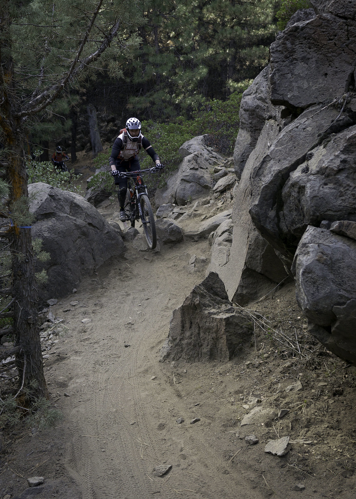
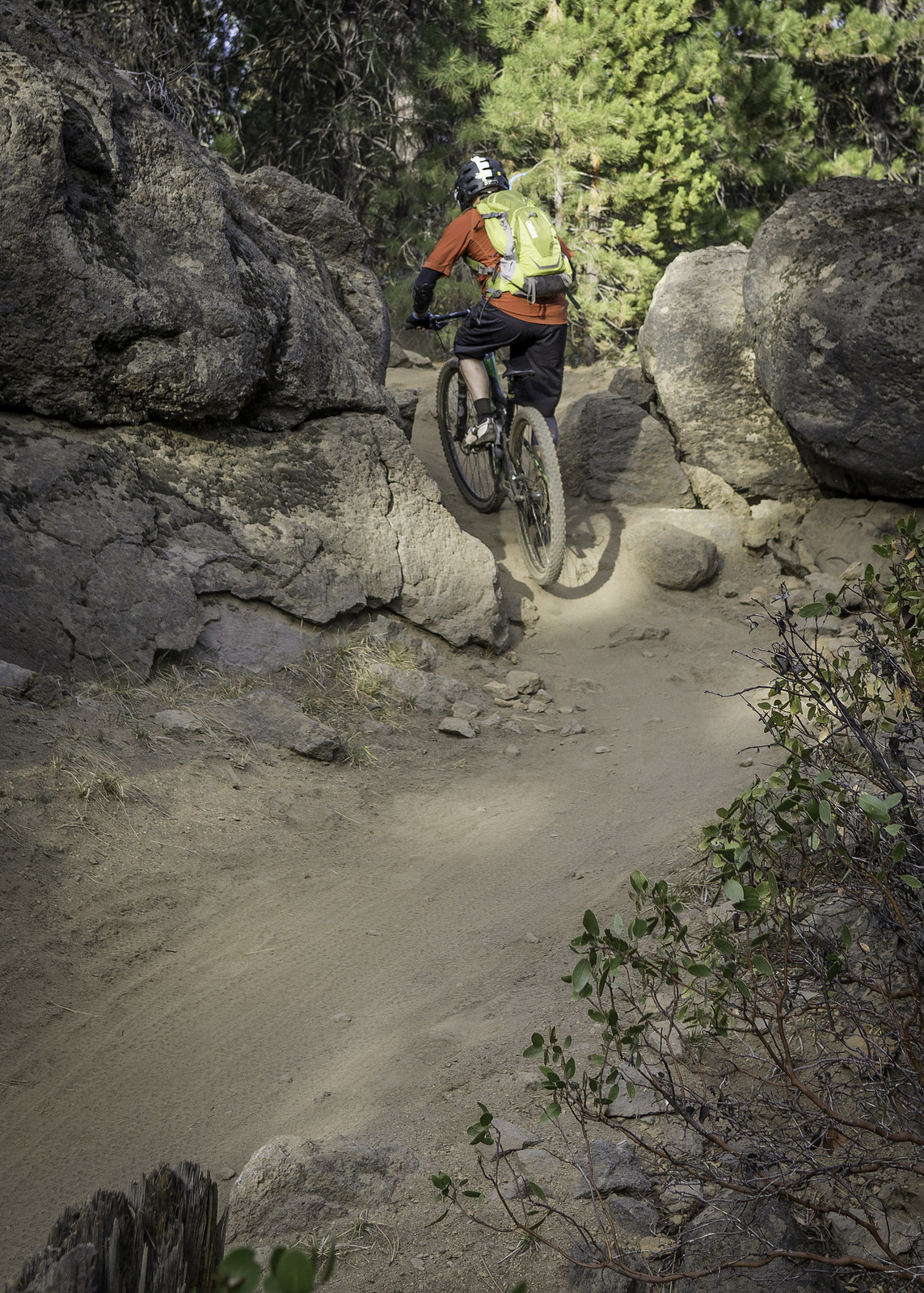
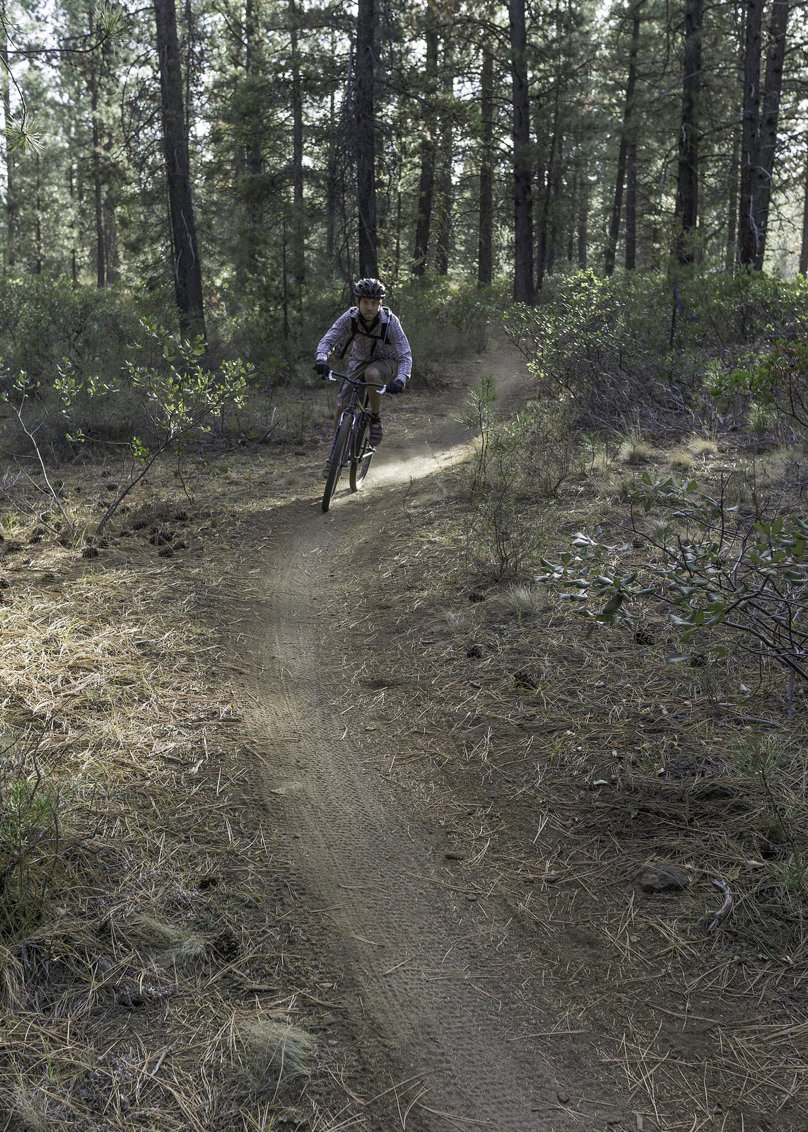
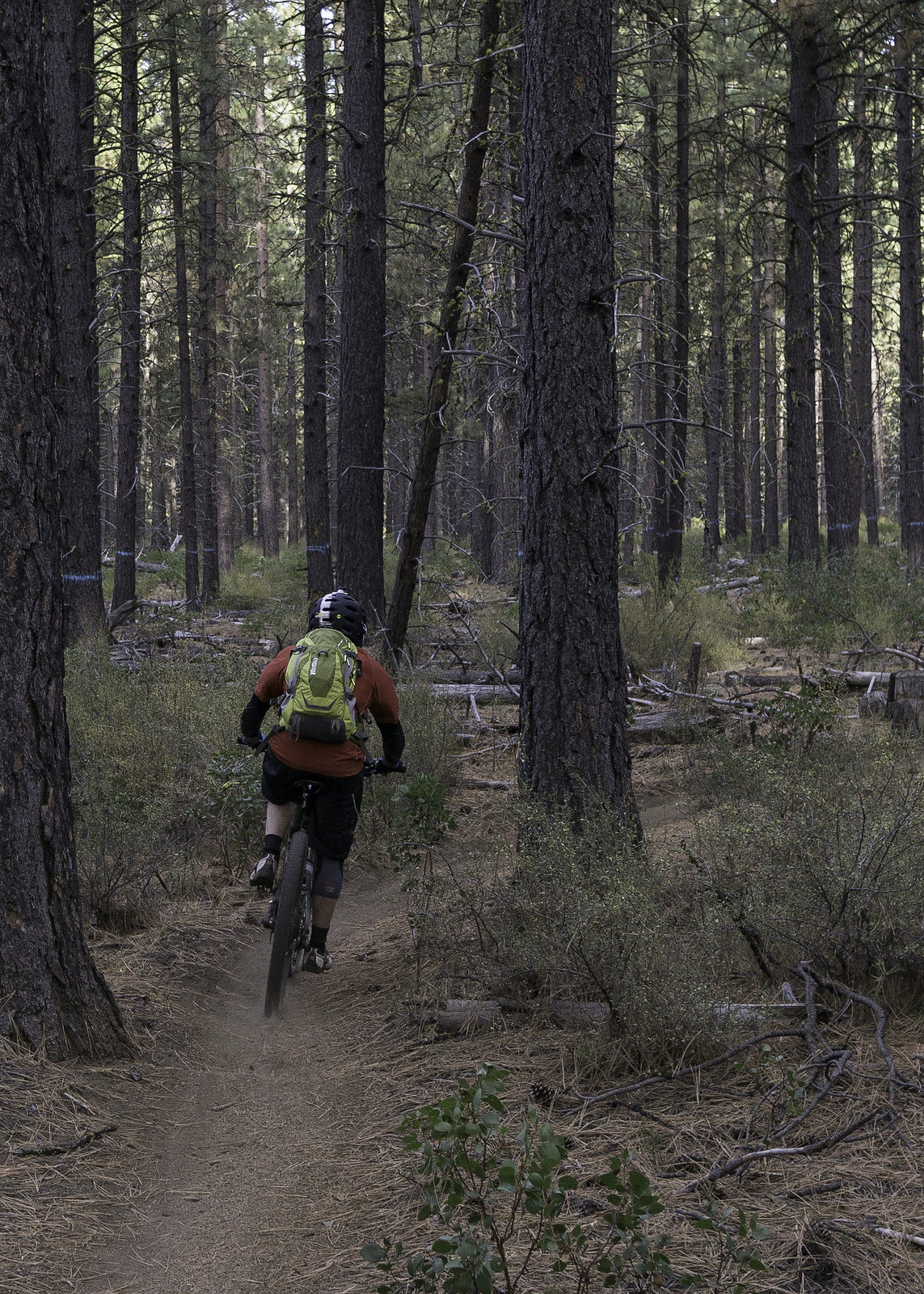
Bunchgrass Ridge / Heckletooth is an all-day epic, running along a ridge that connects
Fuji Mountain to the town of Oakridge, and also happens to be part of the
Eugene to Crest Trail. This ride is a quintessential backcountry adventure, with plenty of overgrown trail and hike-a-bike sections to test your fortitude, both physically and mentally. Because of that, and a longish shuttle as well as unknown trail and road conditions, it can be a hard ride to pull together a group for; in fact, it had been at least a half dozen years since I'd last ridden it. After riding
Grasshopper Mountain Trail the week before, which is a similar style of ride, I knew I wanted to bag Bunchgrass before the end of the season, so I was pretty happy when I was able to sign-up a solid crew of five with fairly minimal effort. Along with Emily and me, we'd have Erin Hooten, Evan Lawrence, and Scott Kramer.
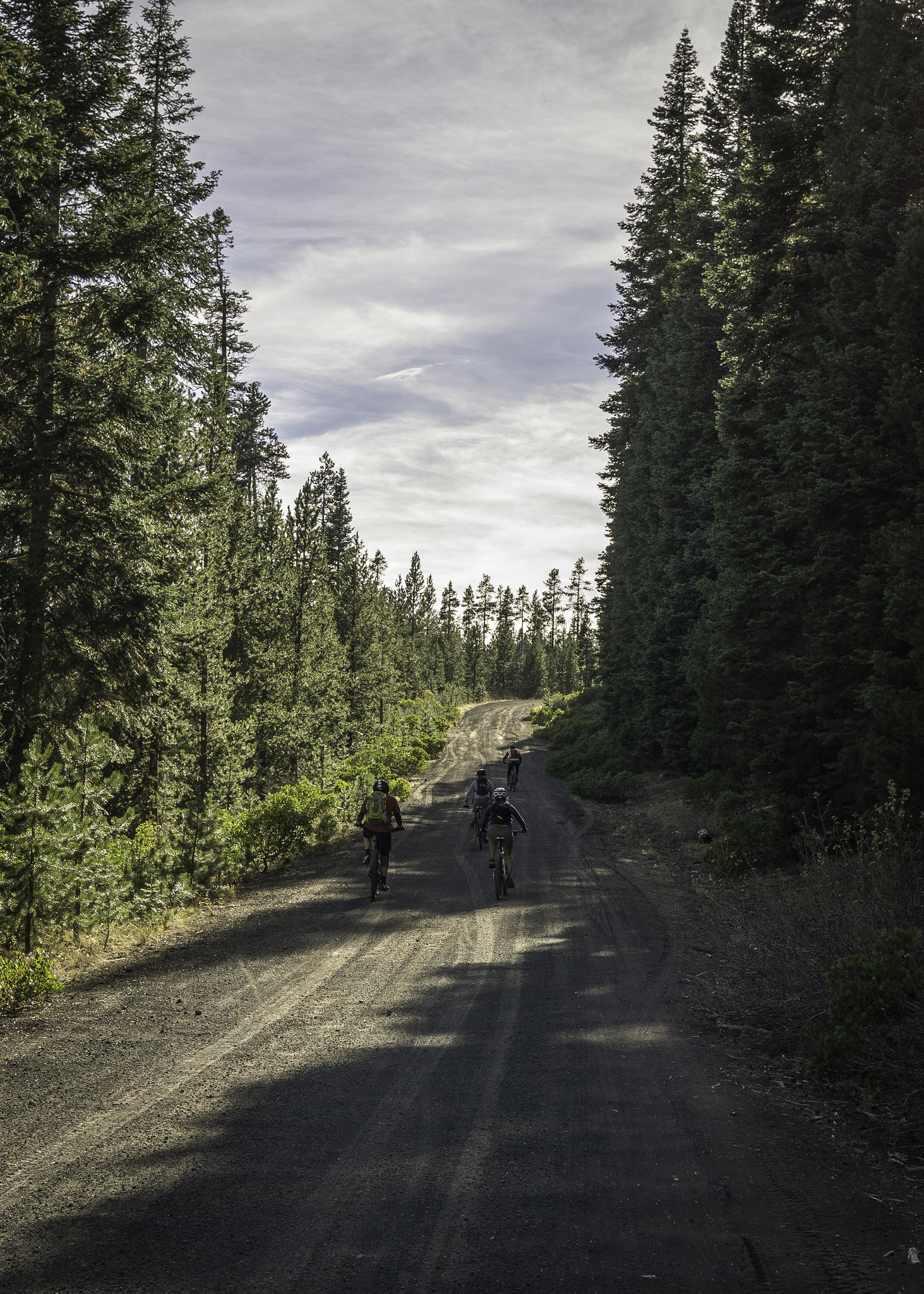
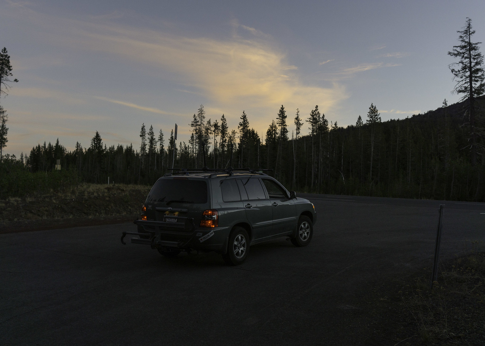
Since we knew it would be a long day, we got a fairly early start, meeting at the pub in Oakridge at ~8am. With my roof and hitch mount racks, I was able to fit all five of us, while still maintaining a decent amount of comfort. Before heading out of town, I stopped into
Willamette Mercantile (the local bike shop), where I received some disheartening news. Derrick was pretty sure that the gate located about a mile up the Eagle Creek Rd. was closed, which apparently happens during hunting season. At this point we really didn't have anything to lose, so we decided to stick with the plan and hope for the best. From Oakridge, we headed east for 15 miles, where Eagle Creek Rd. turned off to the left. It was now the moment of truth, and as luck would have it, the gate was open! The other obstacle that we were concerned about was a reported washout in the road, which was passable but sketchy. To our surprise it had been repaired -- our day was really looking up!
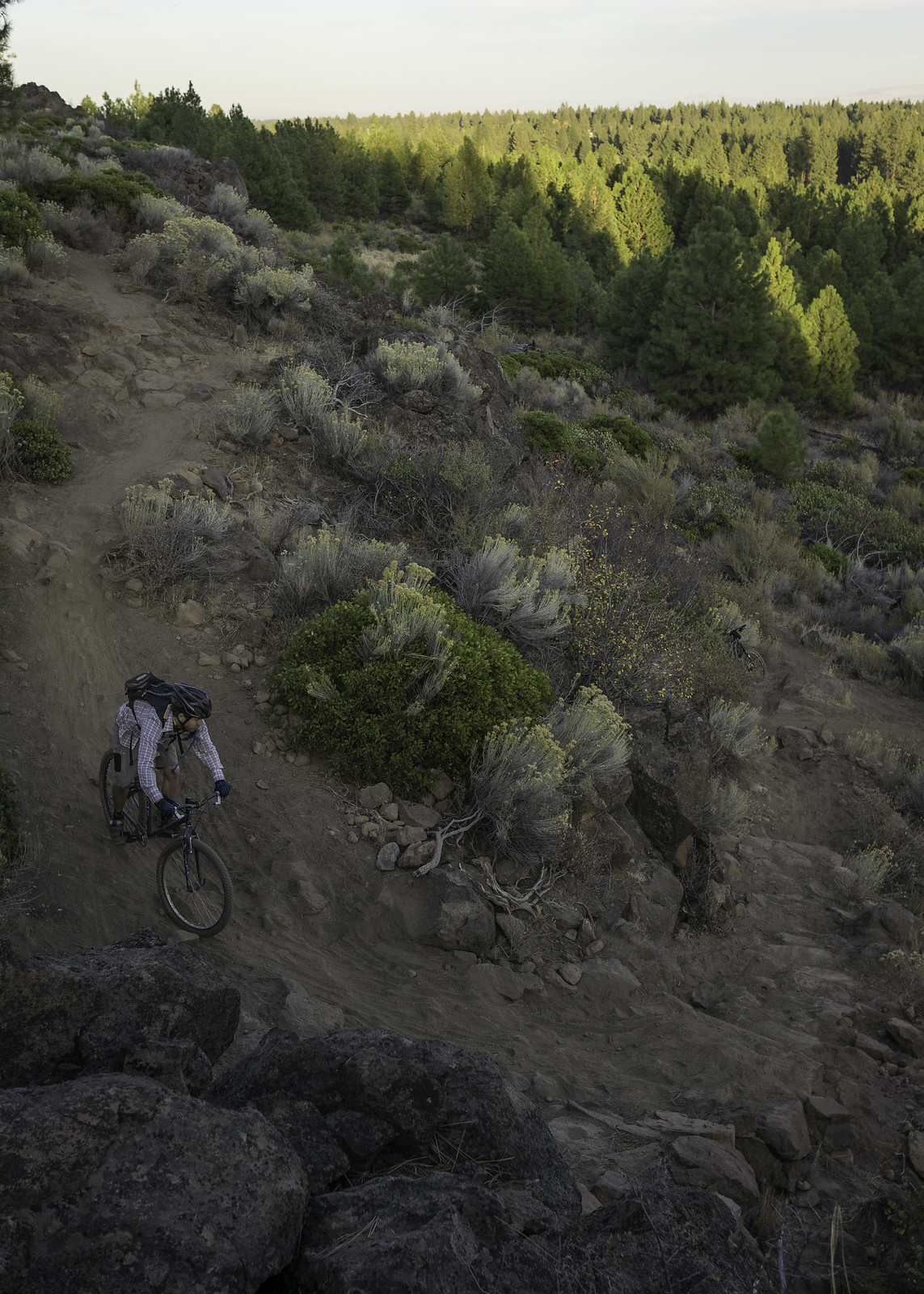
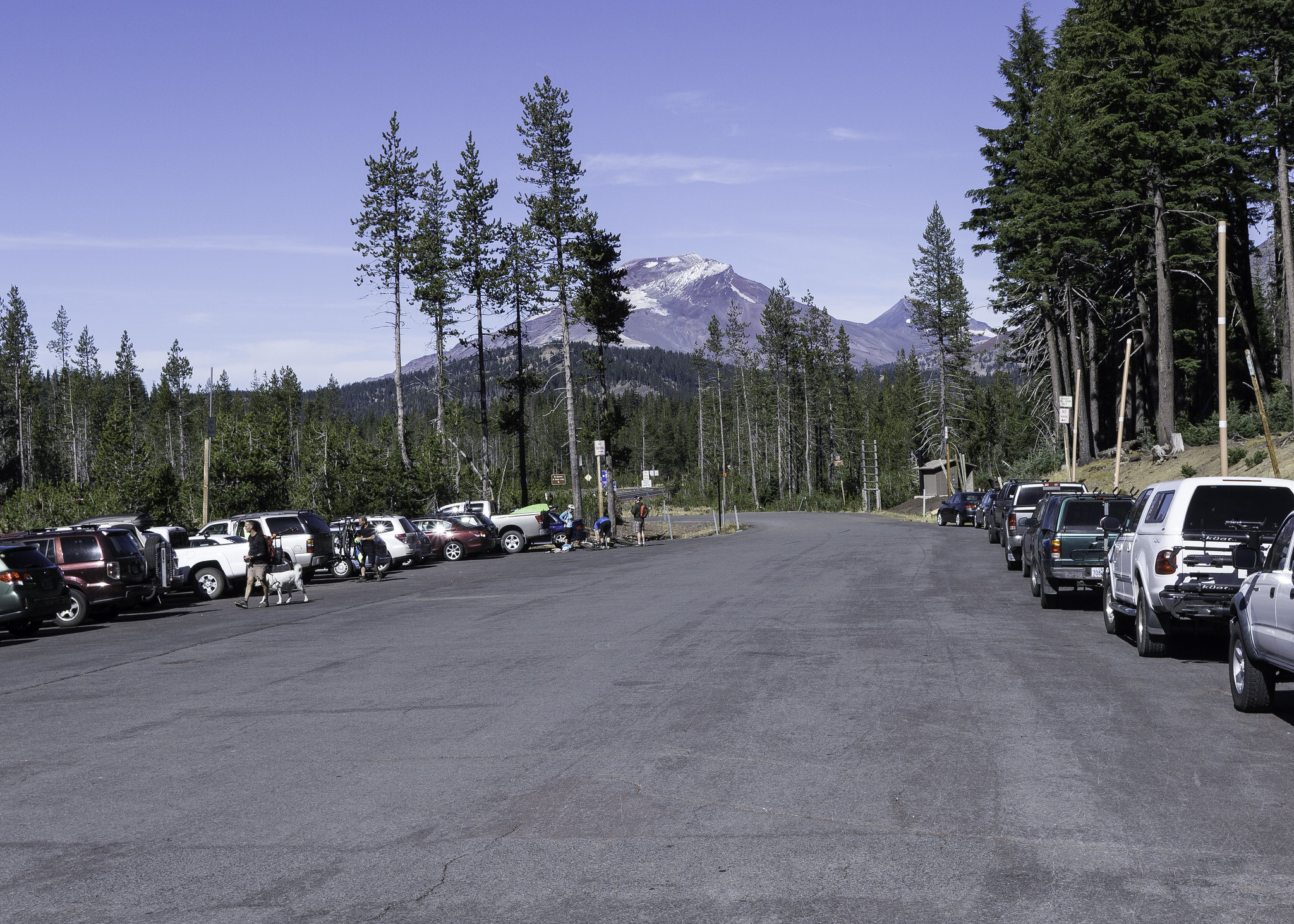
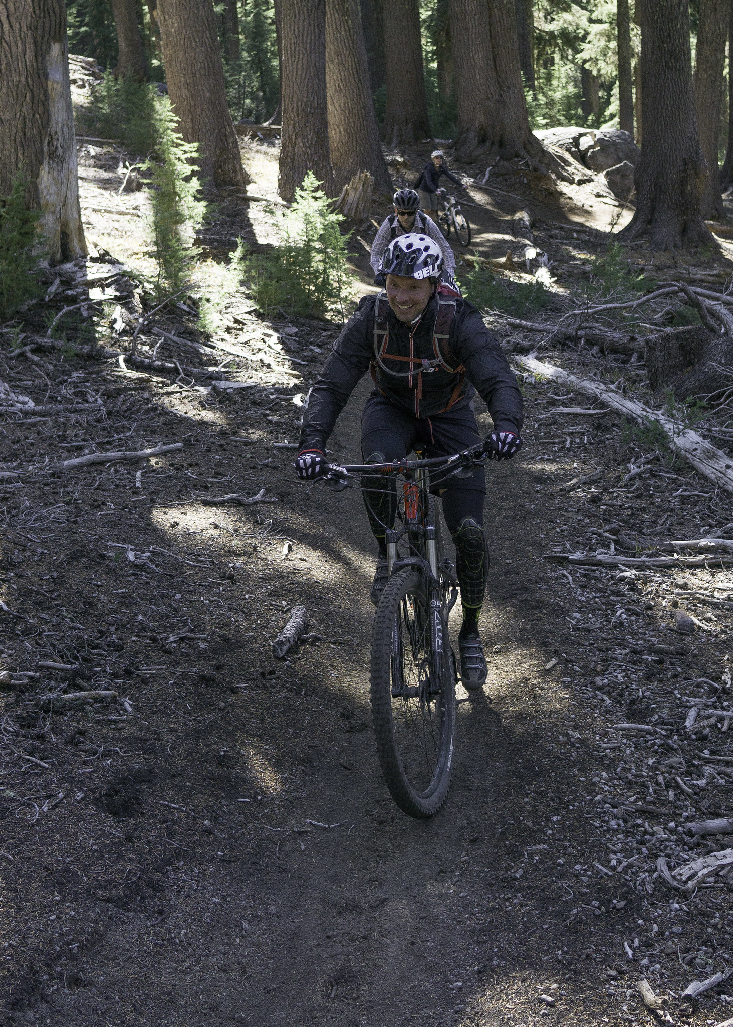
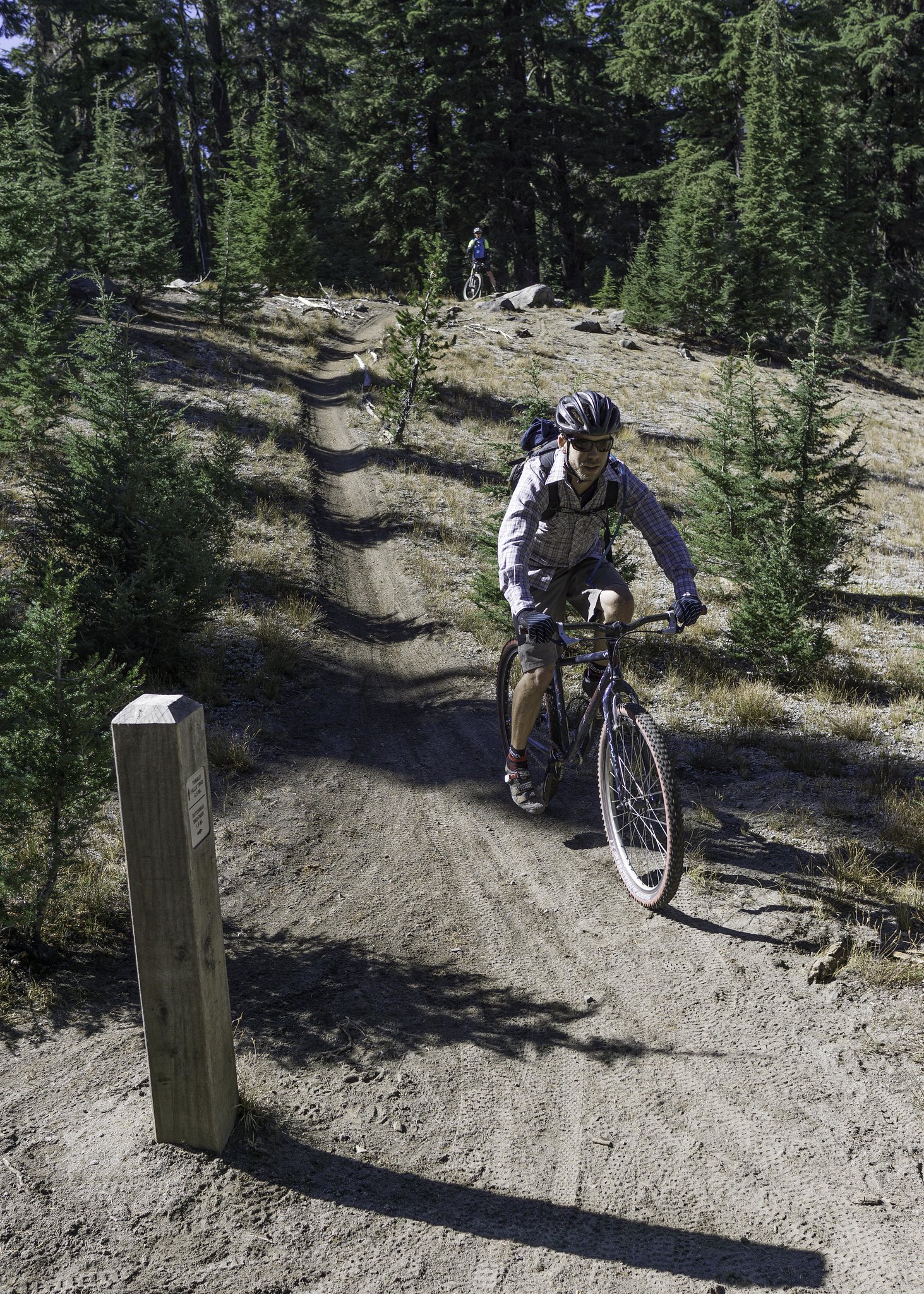
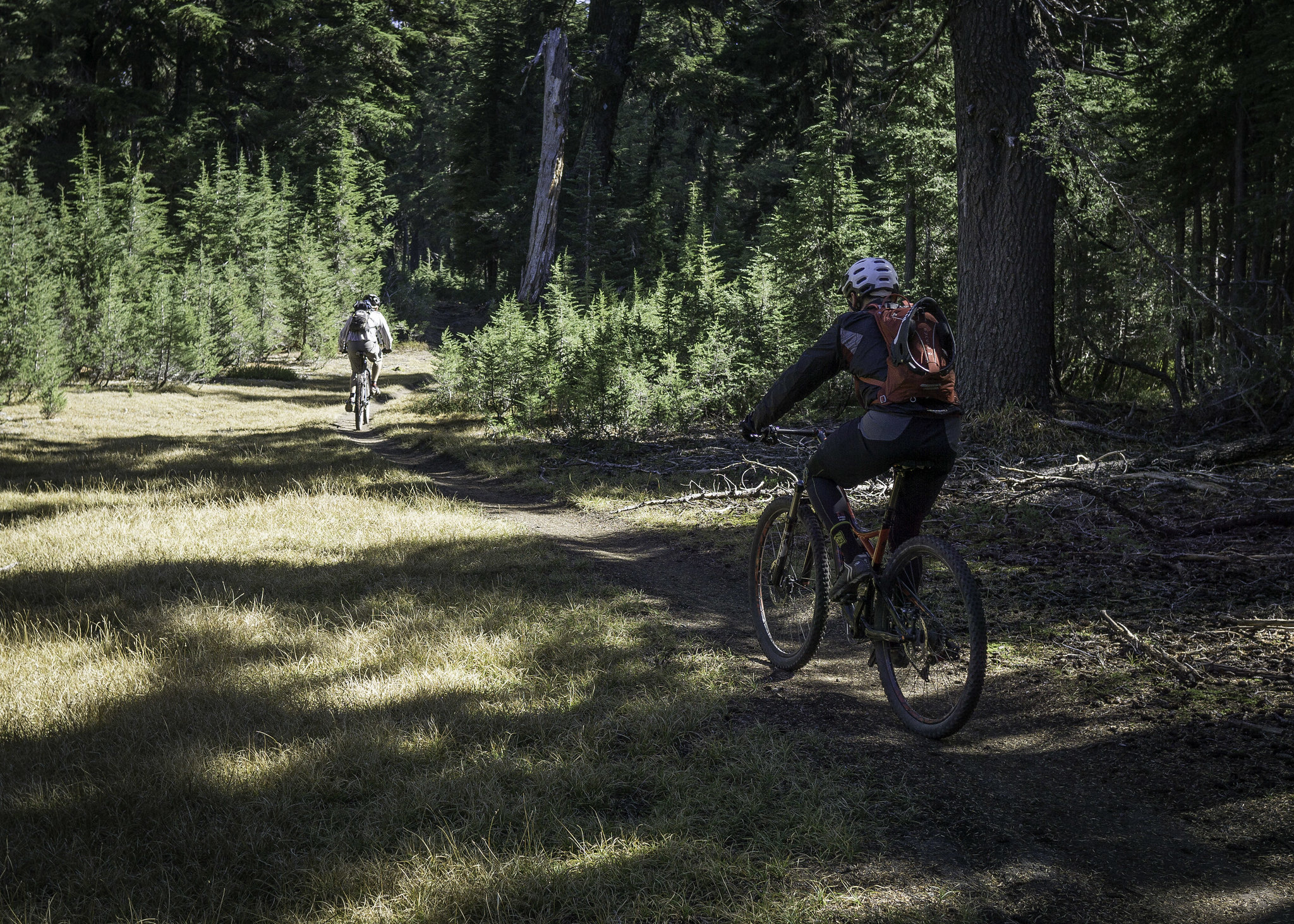
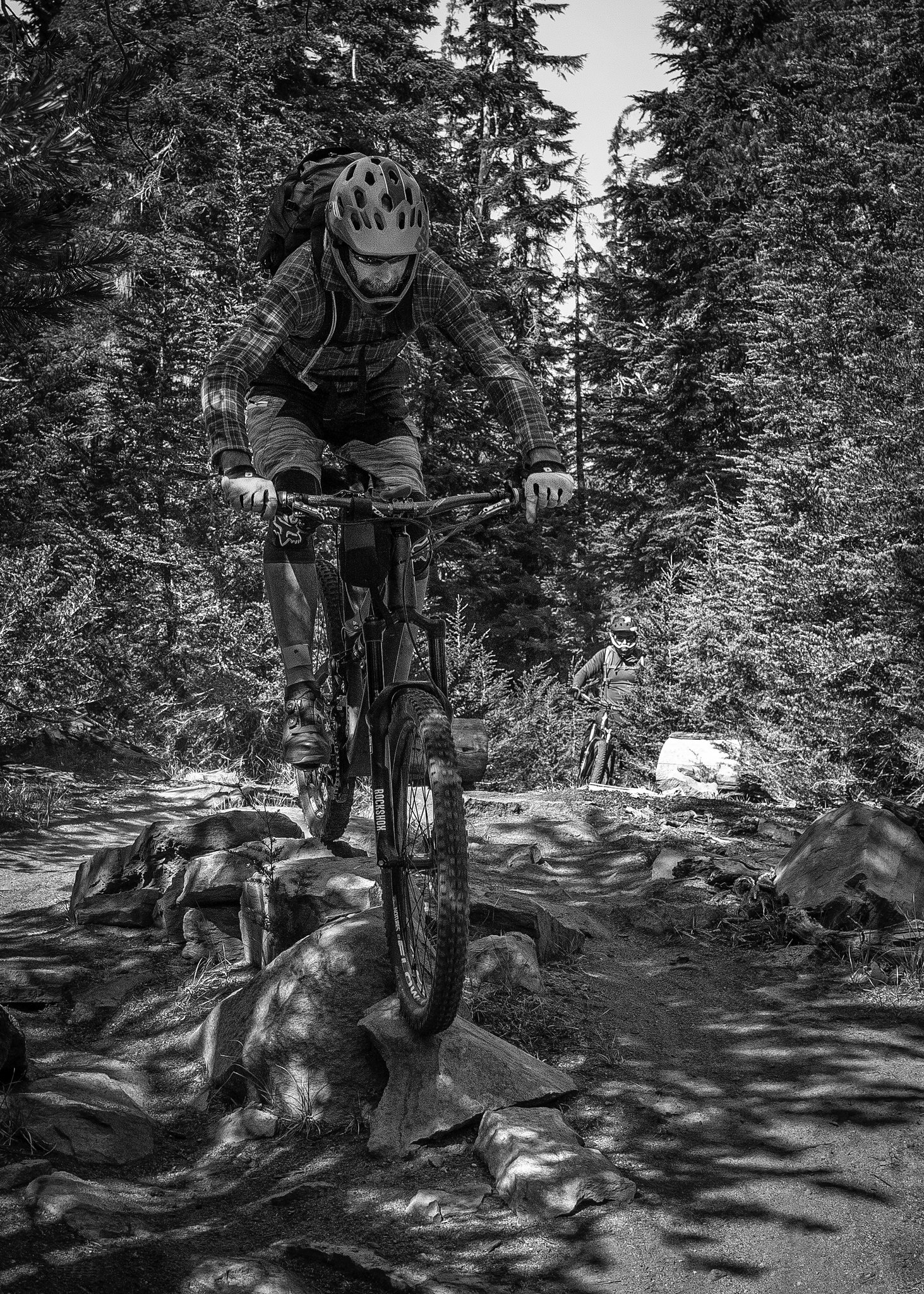
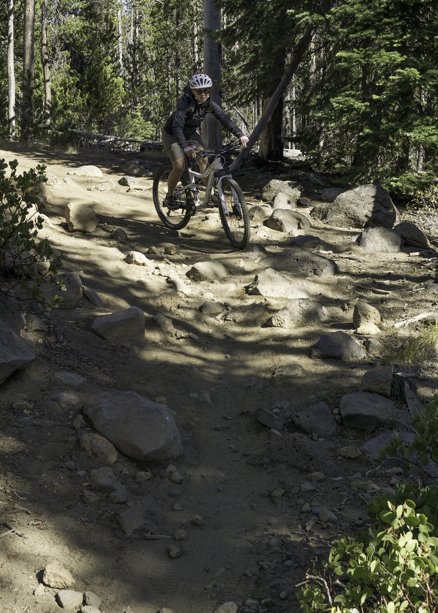
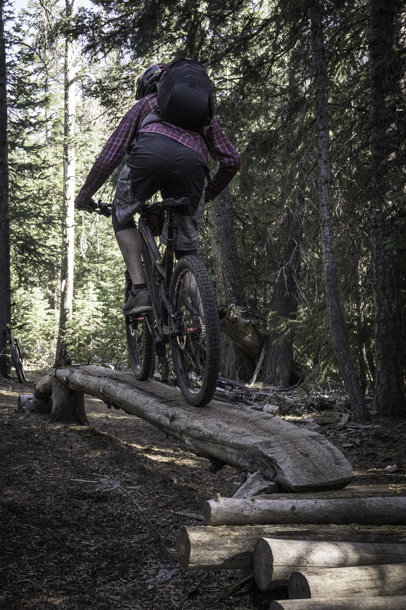
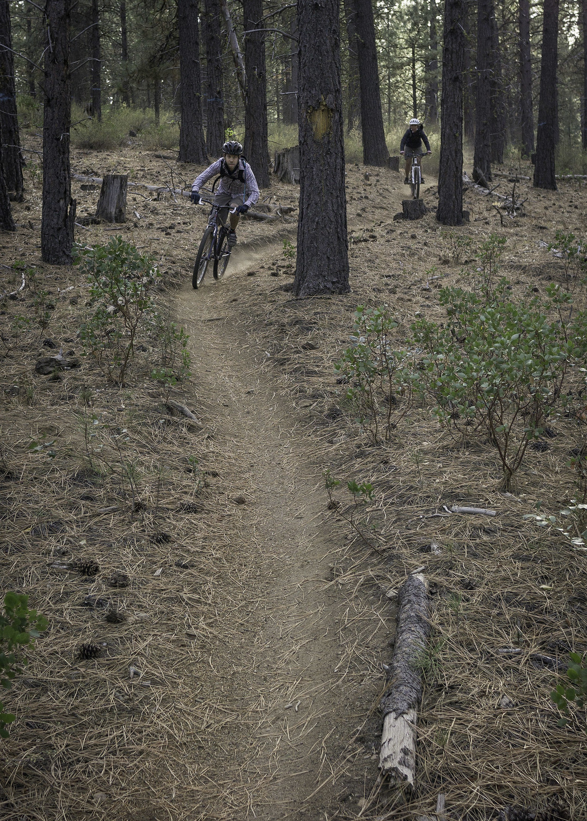
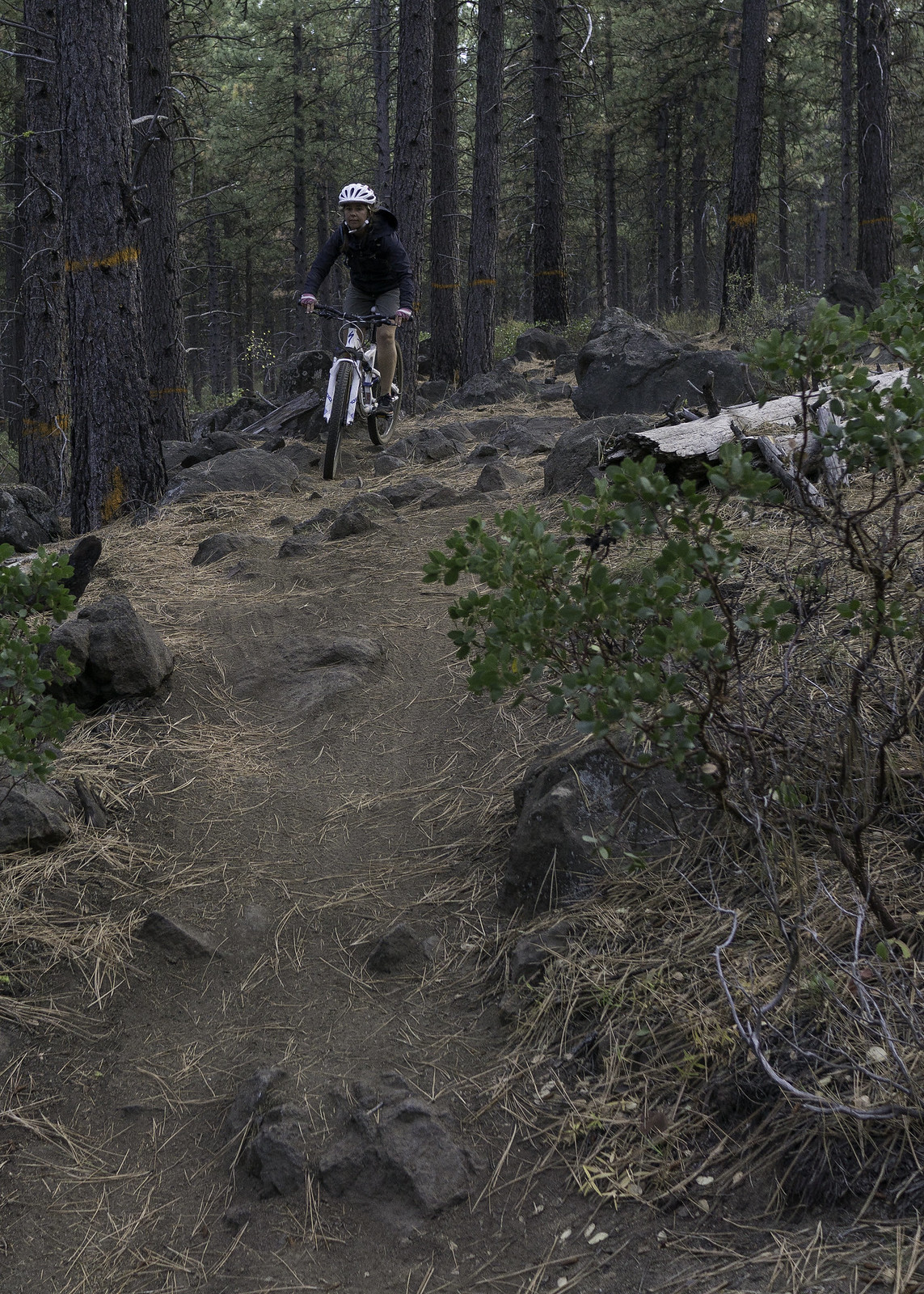
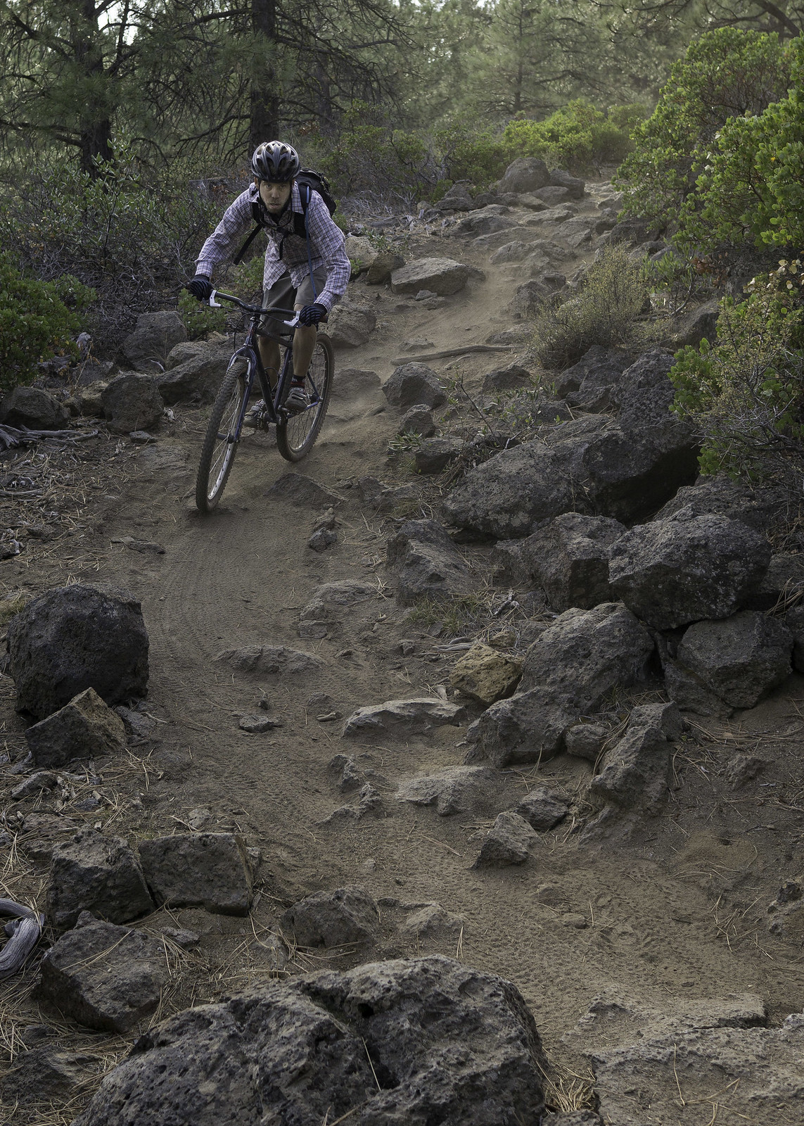
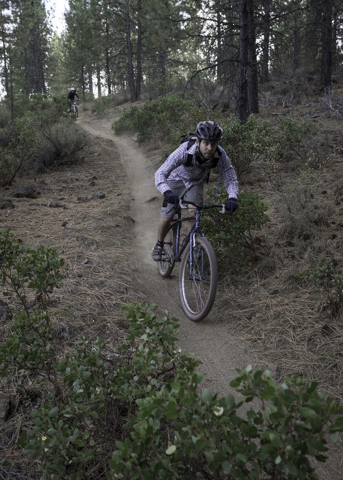
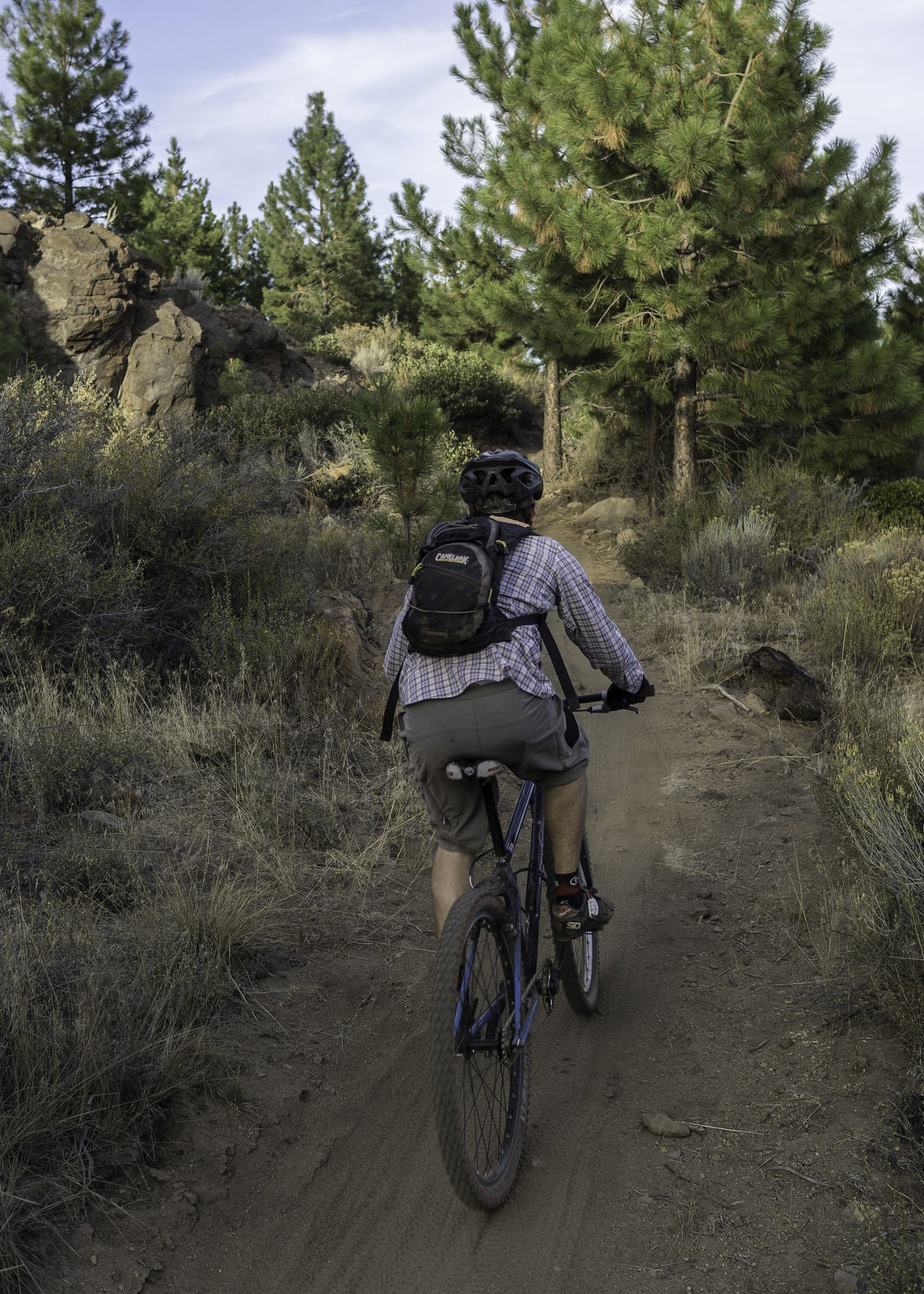
Now at the upper trailhead, we unloaded the bikes and geared up for our day's adventure. The trail started off descending at a gradual pitch, with some technical rock features peppering its surface. Before long we reached what would be the first of many downed trees. After about the fifth or sixth log portage, I was starting to question my decision of proposing this ride. I did hold onto a glimmer of hope, since Erin had been told (by the Forest Service) that Bunchgrass had been completely cleared. About 2 miles into the trail we reached the first road crossing (at NF-379), where the trail conditions improved dramatically, with little to no logs blocking our path.
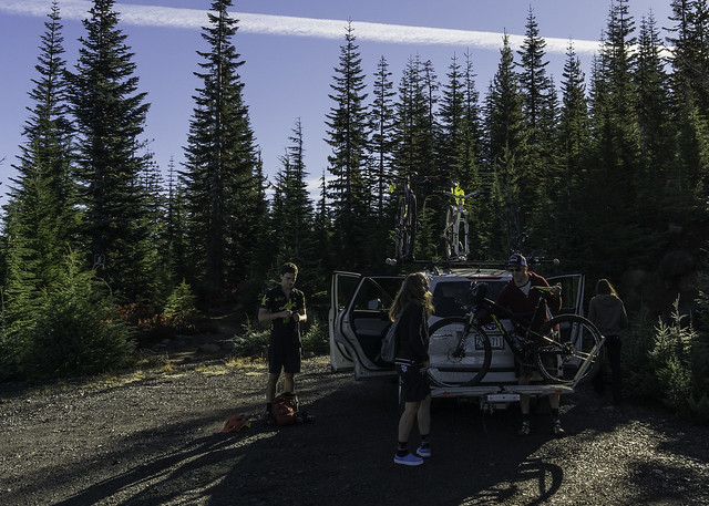 |
| Unloading at the trailhead |
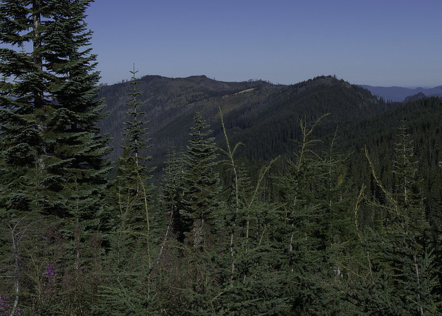 |
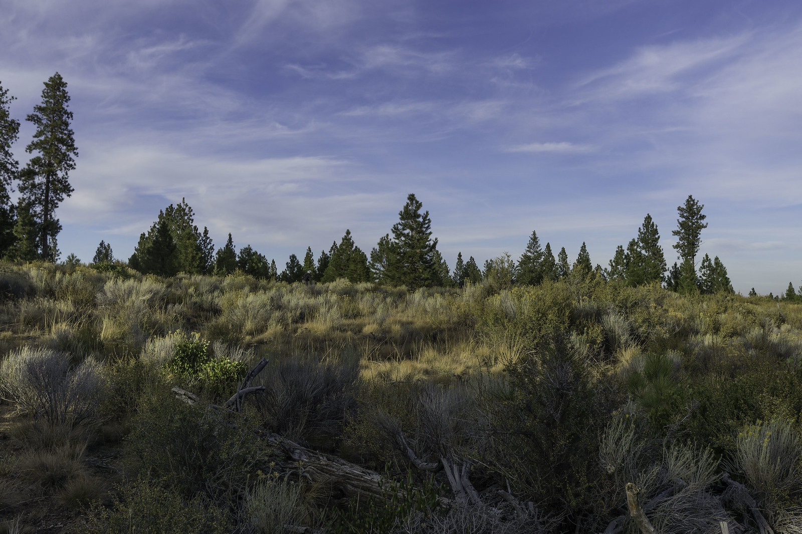
| Looking onto Bunchgrass Ridge, from the trailhead |
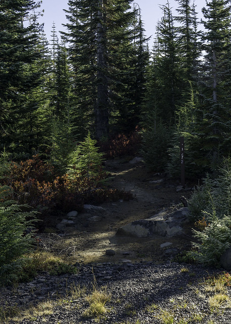 |
| Where it all starts |
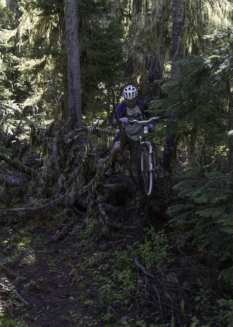 |
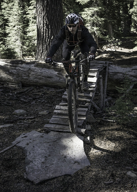
| Scott works his way over one of the many trees down, on the first section. |
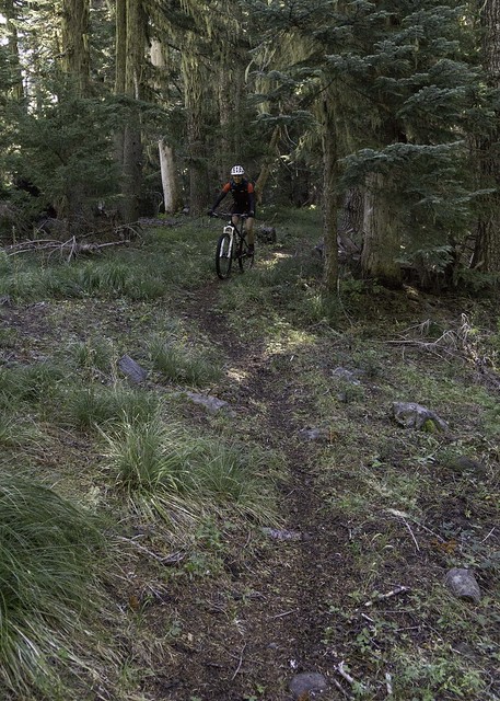 |
| Erin, between blow-down. |
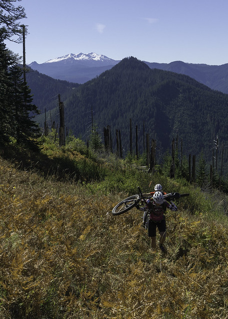
Although we were dealing with fewer logs, the trail started to climb and the steepening grade eventually forced us off our bikes for a short bit. At just over 3 miles into the trail, the forest gave way to a massive wide open meadow, as it traversed along the south side of Bunchgrass Ridge. The trial was fairly overgrown and required full attention to avoid hidden trail hazards, particularly those found at pedal and handlebar level. I actually got taken out by a few of them, leaving me a little bruised and bloody. The silver lining was certainly the unobstructed views to the south, with recently snow-covered Diamond Peak being the dominant landmark. The grass meadow was also interwoven with citrine colored sword ferns -- it really was an amazing setting, which energized our spirits!
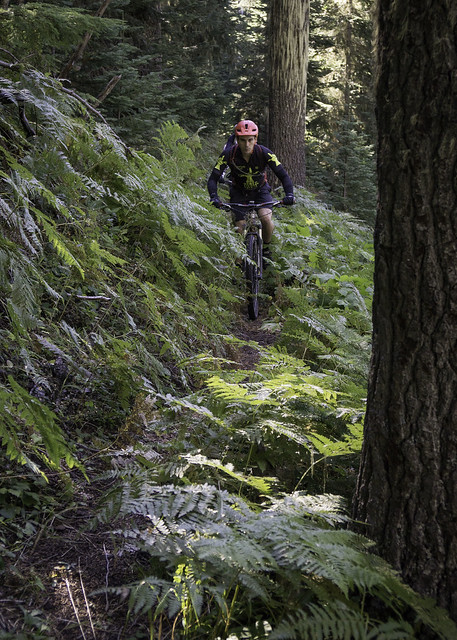 |
| Evan works his way through the sword ferns |
 |
| Gettin' steeper |
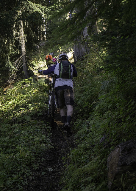 |
| The first of many hike-a-bike climbs |
 |
| Emily enters the meadow |
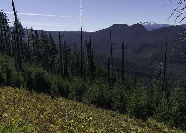 |
| Evan traverses through the fern meadow, with Diamond Peak in the background. |
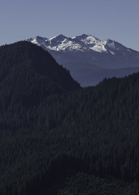 |
| Amazing views of Diamond Peak |
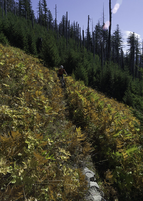 |
| Erin does her best to keep her eye on the trail |
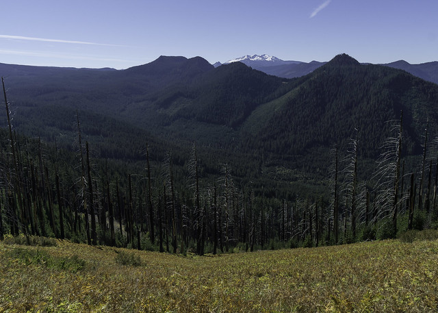 |
| Looking south |
 |
| Trail blazin' |
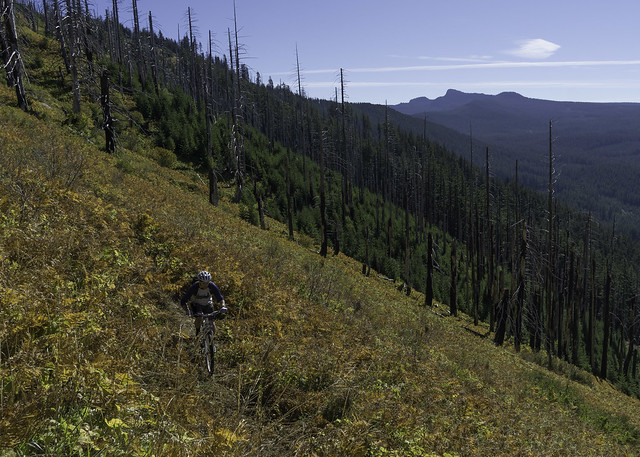 |
| Scott, surrounded by a field of colorful sword ferns |
 |
| Route finding wasn't always easy |
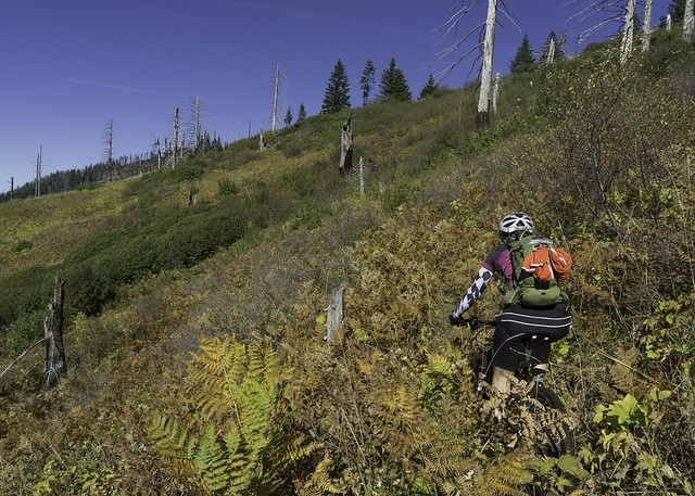 |
| At least the sight-lines were generous |
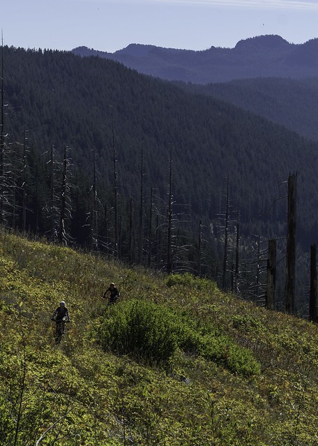 |
| Feeling small |
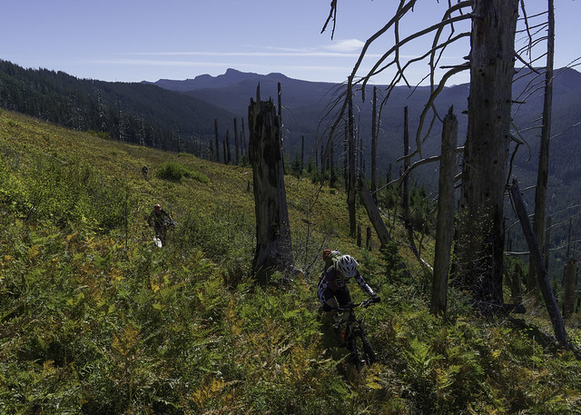 |
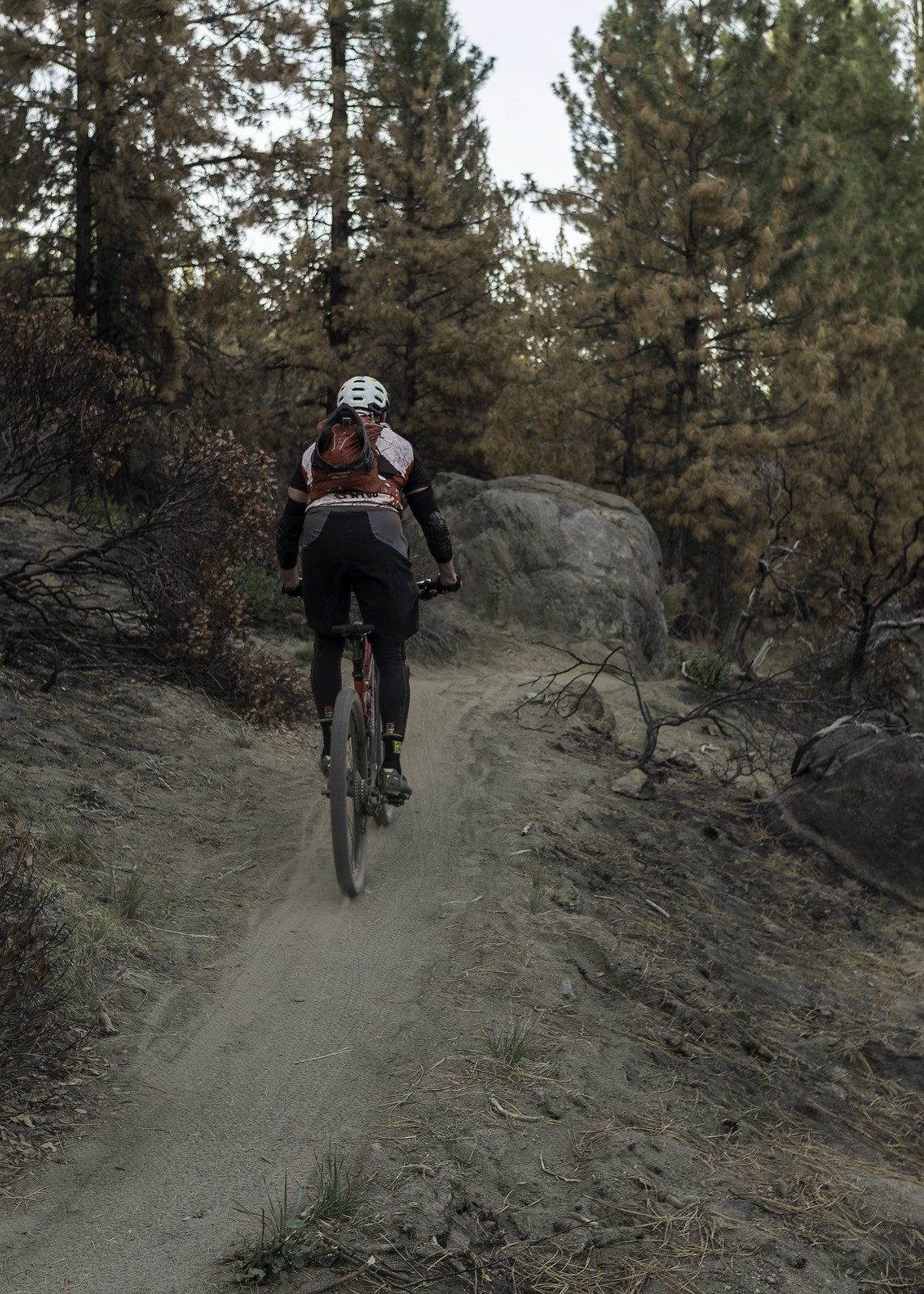
| Emily and Scott ride past remnants of the Warner Creek fire |
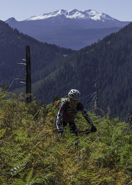 |
| Bars deep |
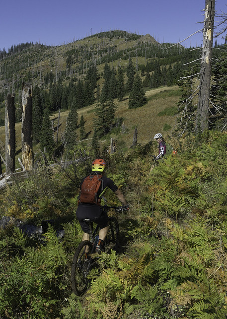 |
| Entering the grass meadows |
As the trail climbed up toward the top of the ridge it became a bit more difficult to follow. In fact, we got slightly off track and started heading down a spur/bailout trail that dropped down to NF-5823. Luckily we discovered our error pretty quickly, after consulting the map. Just up the hillside, we saw a signpost, which helped guide us to where we needed to be. With that, we pushed/shouldered our bikes up to its location, where we found the proper trail. The post itself let us know that we were not only on the Eugene to Crest Trail but also at the site of the old Sheep Camp, dating back to the 1800s.
 |
| Course correction |
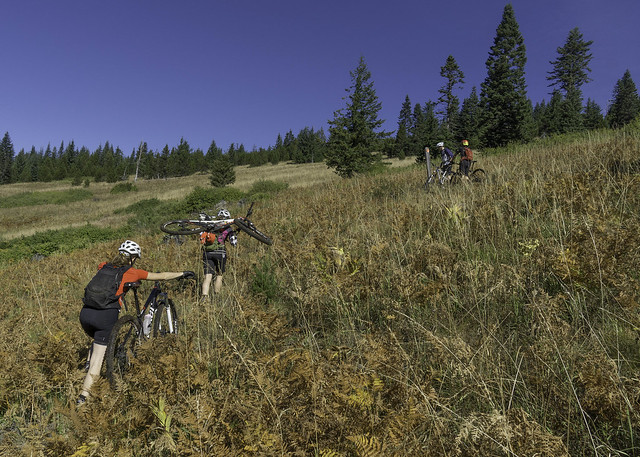 |
| Heading toward the signpost |
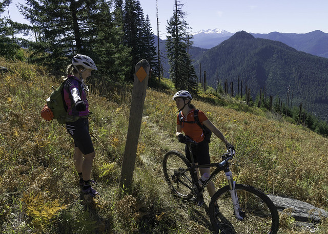 |
| History lesson |
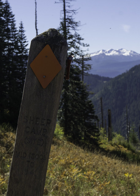 |
| Site of the ol' Sheep Camp |
 |
| 23.7 miles to go! |
From the signpost, the trail climbed up the crude trail at a fairly steep grade, forcing us off our bikes once again. Although some of it was ridable (arguably), I pretty much hiked my bike all the way to where it topped out at the summit of the ridge. It was from this highpoint that we had a much better perspective of the wake from the Warner Creek fire, which ripped across the ridge in 1991. The fire, which was arson set, engulfed ~9,000 acres of old and second growth forest. Along with the scorched hillsides, we also found a nice little bear grass meadow to eat a snack and rest a bit, before continuing on.
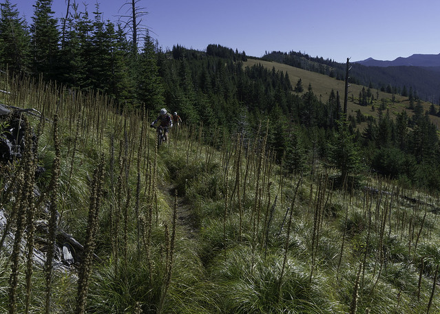 |
| Bear Grass on Bunchgrass |
 |
| Emily takes a breather at a false summit |
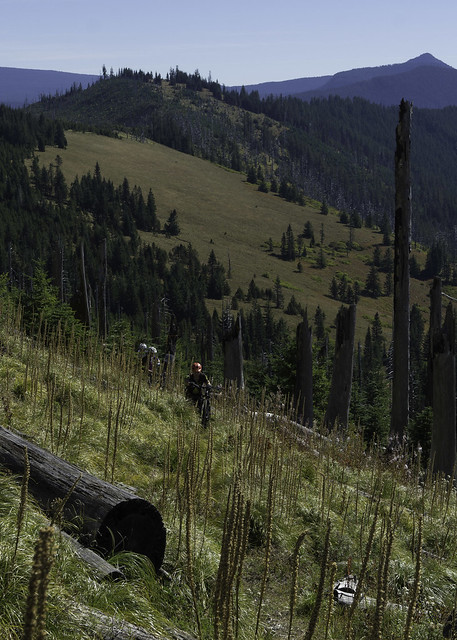 |
| Bunchgrass - Big & Beautiful! |
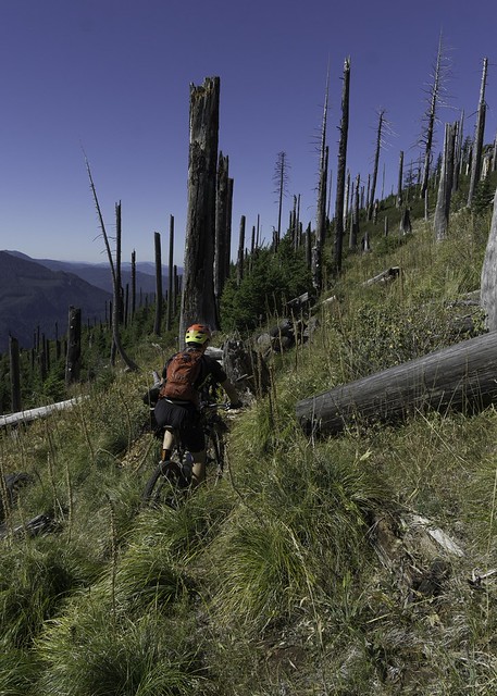 |
| Evan closes in on the top of the ridge |
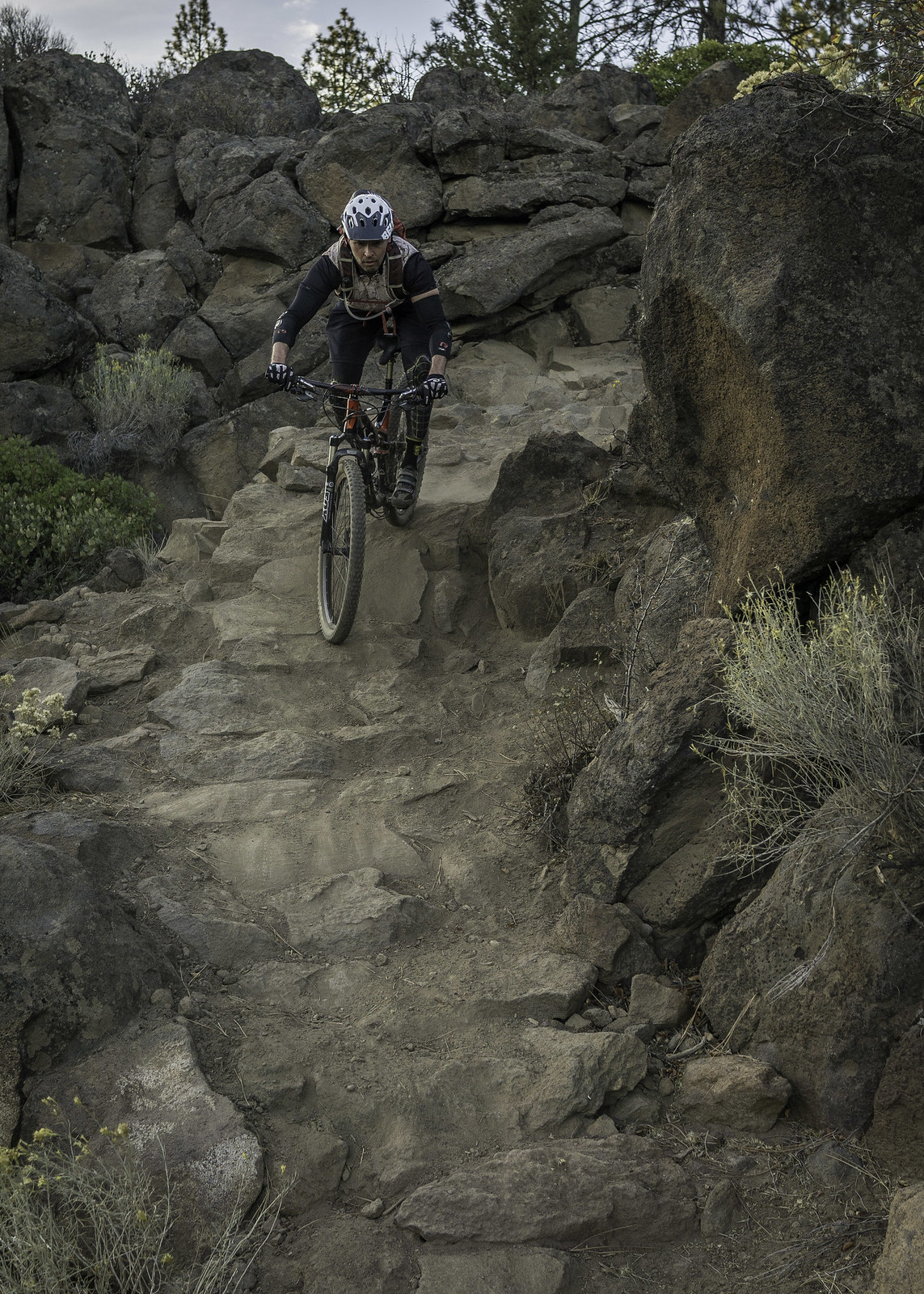
From the top of the ridge, we dropped down into an area that is affectionately referred to as "Smoke a Bowl". Of course, I assume its name is derived from the bowl feature of the mountain range, in combination with the cashed remains of the Warner Creek burn... Whatever the case, the descent is super steep and gets pretty technical toward the bottom -- super fun stuff that is 100% rideable, if you're feelin' it. Even after the trail stops descending, it remains technical as it traverses along the north side of Bunchgrass Ridge.
 |
| A much deserved break |
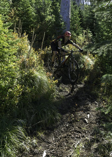 |
| Fun steeps, dropping into Smoke a Bowl |
 |
| Emily gives chase |
 |
| Erin nears the end of the descent |
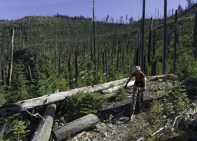 |
| Exiting Smoke a Bowl |
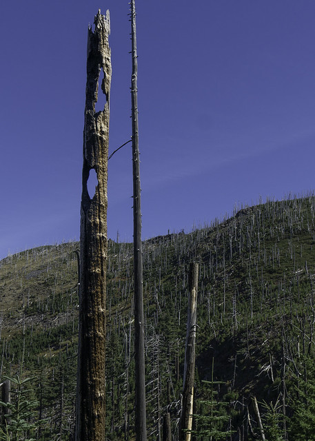 |
| Tree graveyard |
Over the next few miles, the trail climbed, descended, and then climbed again, until we reached a vista with an amazing view to the north and east. The last climb up to this viewpoint was a pretty tough one, once again forcing me off my bike to push it up the hillside. Although we had already taken a break a few miles back, it was worth taking another, both to enjoy the view and regain some energy before continuing on.
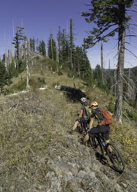 |
| Synchronized Captain Pose |
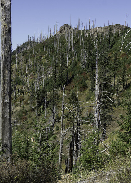 |
| Rugged |
 |
| Another great vista, this time looking northeast. |
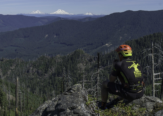 |
| Evan takes in the view of the Sisters |
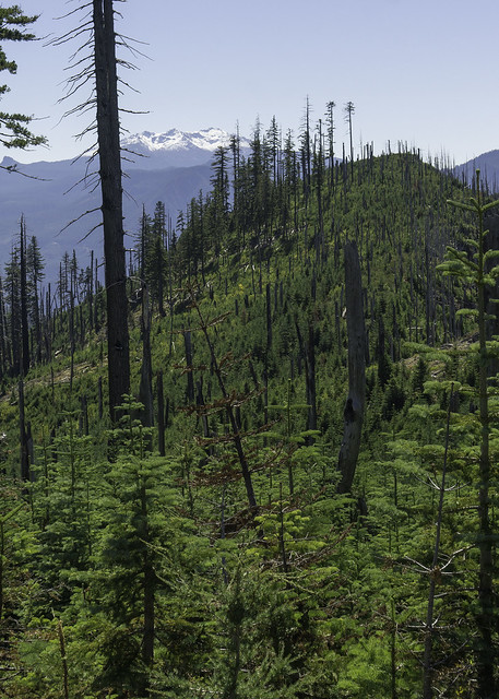 |
| Looking south |
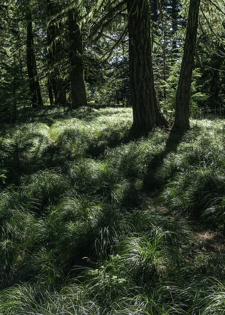
After the overlook, the trail descended at a gradual pitch through a forested setting that was blanketed in beargrass -- it was easiest section of the trail so far, which was a welcome change for me and I'm sure everyone else in the group as well. The trail also traveled through a couple of meadows before reaching a larger one just down from the summit of Little Bunchgrass. We debated climbing to the summit, but since we still had a lot of riding and wanted to conserve energy, we decided to forgo the small detour.
 |
| More climbing?! |
 |
| Blankets of bear grass |
 |
Little Bunchgrass Meadow
(taken on a previous trip) |
From Little Bunchgrass meadow, the trail started another descent, where it eventually reached the notorious "Deadly Switchbacks", which drop 1,200' over the next mile of trail! The first time I did Bunchgrass I didn't even consider riding them, but the last few times I have enjoyed the challenge they present and have tried to pick them off one by one. It was this time that I had my best run, nabbing all but three. All of them are possible and I’m sure that someone(s) has bagged them all in a single run, which I hope to accomplish at some point in the future.
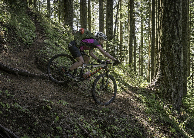 |
| Emily rounds one of the first Deadly Switchbacks |
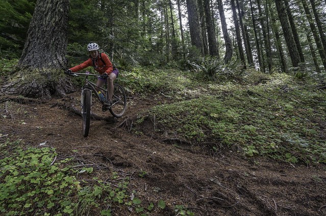 |
Same switchback, different day.
(taken on a previous trip) |
 |
Baggin' another steep/tight one
(taken on a previous trip) |
 |
One of the last Deadly Switchbacks
(taken on a previous trip) |
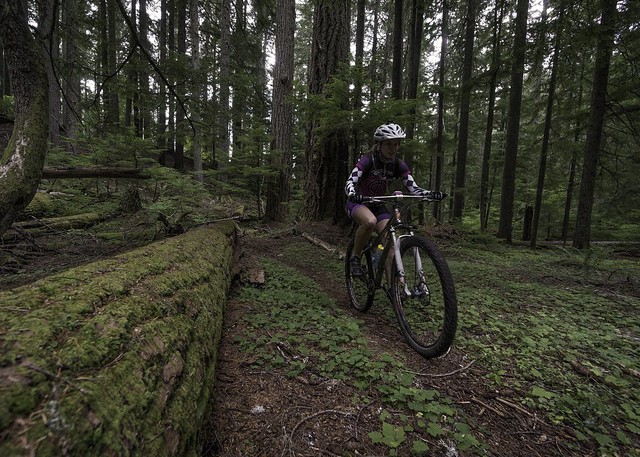
Reinvigorated at the bottom of the switchbacks, I jumped out ahead on the next section of trail. My newly found energy was quickly dampened by the reintroduction to blow-down – Apparently, we had reached another section that hadn't been cleared. Over the next few miles we would climb over multiple logs while ascending another 700 vertical feet. This segment was definitely taking it out of me, so I decided to focus more on my riding and less on photography; therefore, and from this point on, the remaining photos were taken from previous rides along this route. When we finally reached the short connector trail leading up to NF-345 (near Kwiskwis Butte) I was pretty relieved, since I knew we were finished with the bulk of the climbing on this section.
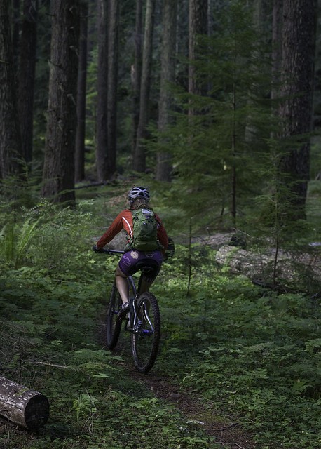 |
Spectacular forest setting, found along the section after the switchbacks
(taken on a previous trip) |
 |
More beauty
(taken on a previous trip) |
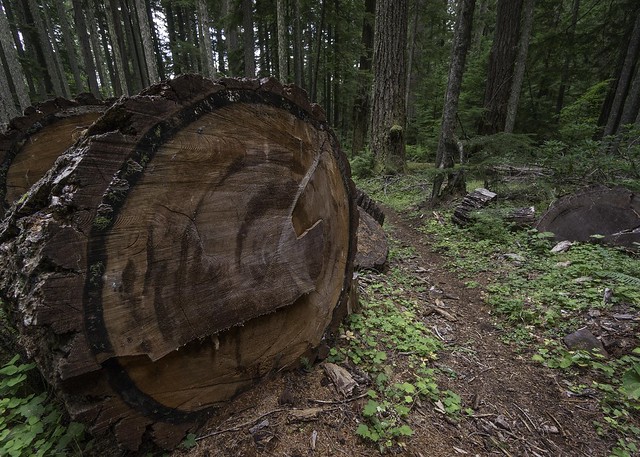 |
Fallen giants
(taken on a previous trip) |
 |
Somewhere along the climb
(taken on a previous trip) |
With a little over two miles to the start of the Heckletooth section, the trail mostly descended and the logs disappeared again -- good news indeed! There are a few fun technical challenges along this bit of trail, which serves as a good warm-up for Heckletooth. There are also some fast sections that had us grinning from ear to ear. Once we reached the road crossing, we dismounted our bikes and took another breather, knowing that we still had a lot of trail and a few tough climbs to tackle.
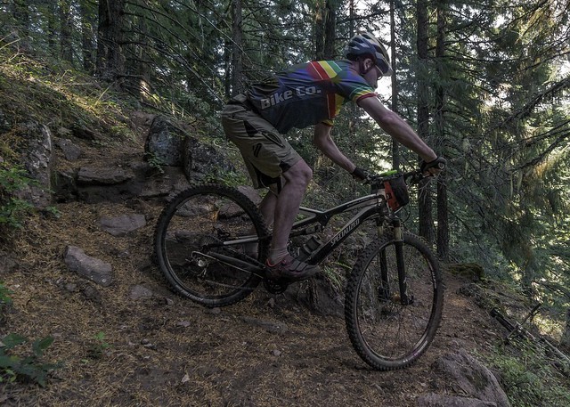 |
The author drops a fun technical pitch
(photo by Emily Pfeifer; taken on a previous trip) |
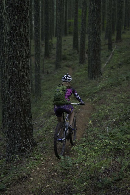 |
Emily gets ready for a fast side-hill traverse
(taken on a previous trip) |
On the other side of the road, the trail descended not nearly long enough, before flattening out and eventually tilting upward. It was at this point that I dropped to the back of the pack, struggling to maintain my pace and taking frequent breaks. The first climb was tough but the second is what really put the hurtin' on me. The last pitch up to Heckletooth Mountain is a steep one and I had to push my bike for almost the entire distance of it. By the time I reached the top I was on the verge of bonking, but luckily I was able to pull out of it after resting for about 10 minutes and popping some legal energy supplements. Since I had taken in the view from the summit many times before and I was ready to finish up the ride, I forewent the vista and dropped into one of my favorite sections of trail in Oakridge.
 |
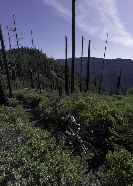
Nearing Heckletooth
(taken on a previous trip) |
 |
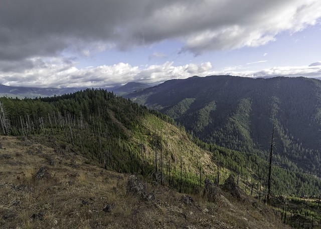
The last grunt up to Hecketooth
(taken on a previous trip) |
 |
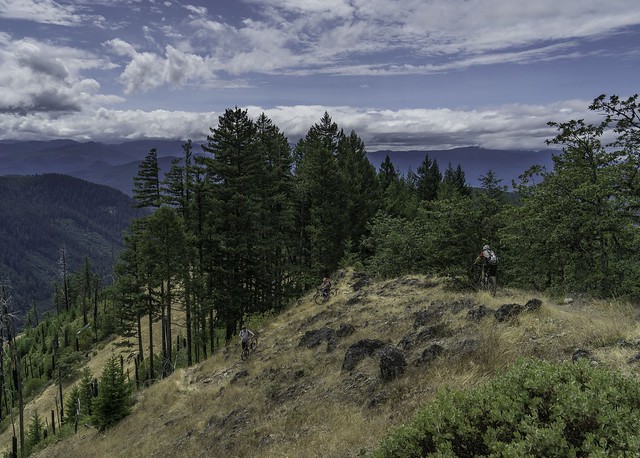
The view from Heckletooth
(taken on a previous trip) |
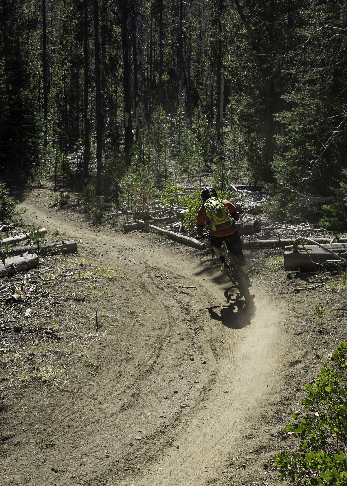
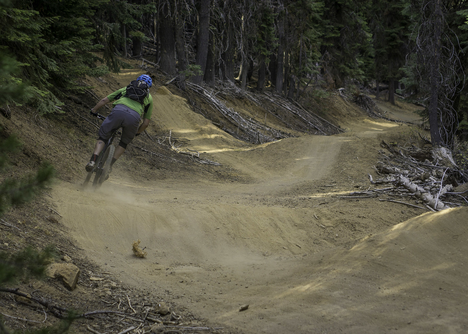
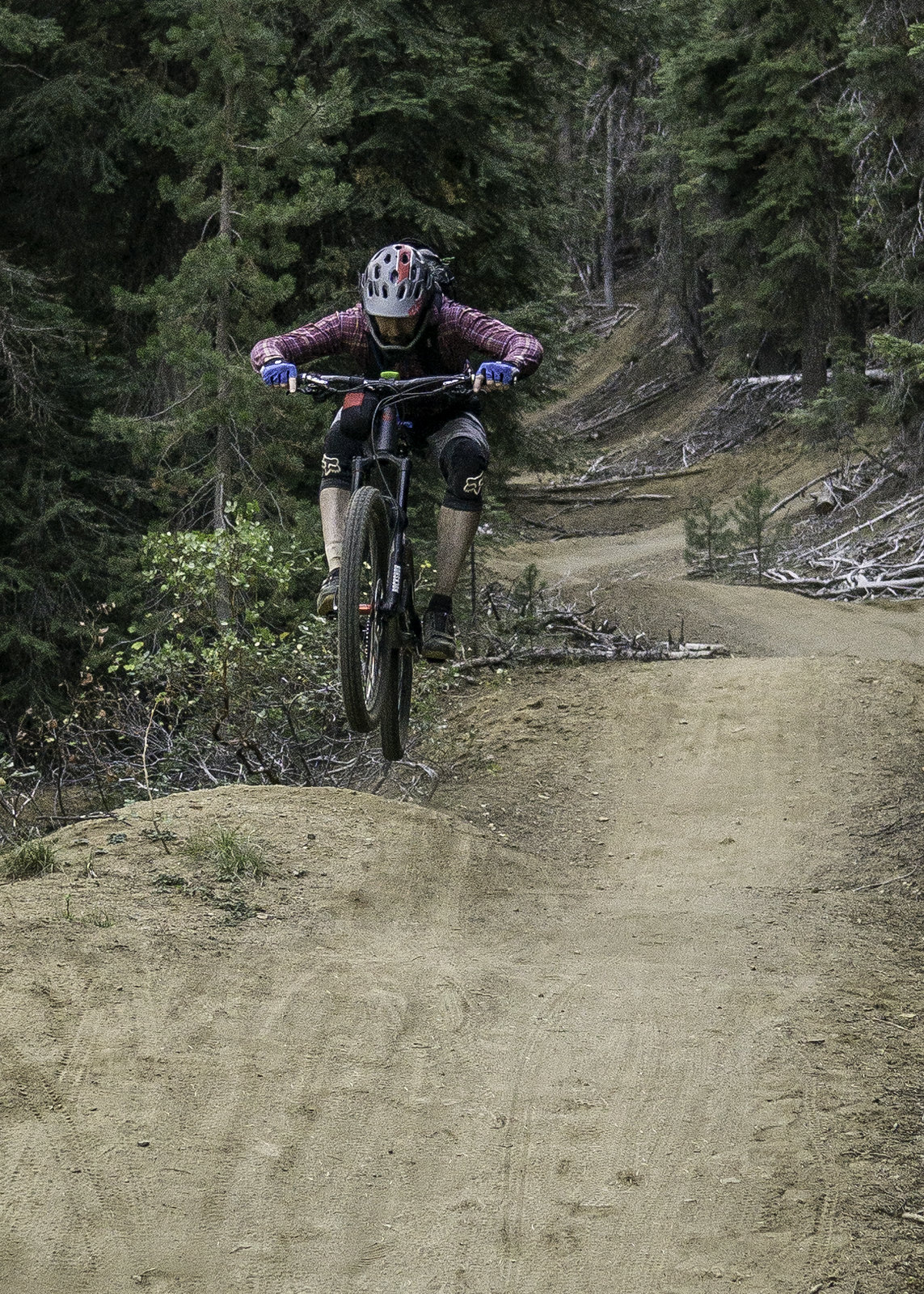
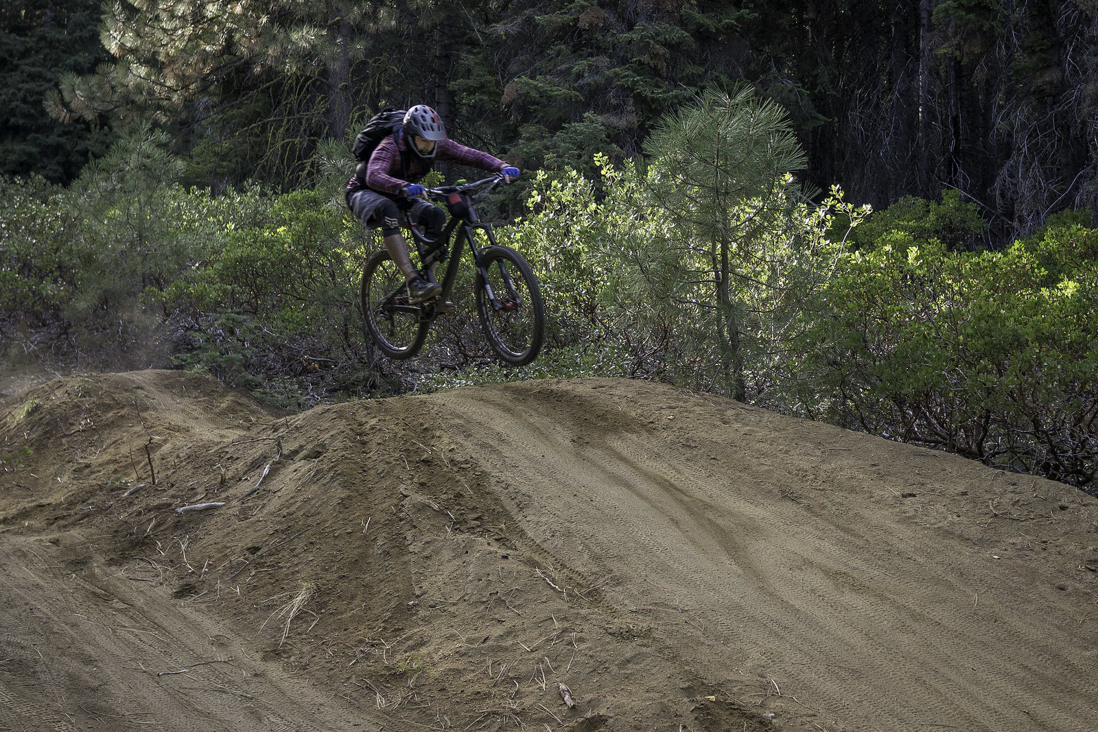
The descent on Heckletooth is pure joy, filled with fun technical patches, fast traverses and steep/tight switchbacks, for almost its entire 5-mile length. Sweetening the experience was the recent trailwork that had been done for the Fat 55 race, which actually had a change a venue in the 11th hour, sending riders along the MF Willamette instead. Even in my exhausted state, I was lovin’ every minute of it and actually caught a second wind (or third, or forth...)! With Emily hot on my tail, we raced down the trail Blue Angel style, stopping only once to regroup at one of the few meadow crossings. It was actually a great place to do so, since the view to the east included Bunchgrass Ridge, feeding our sense of accomplishment. From our final pit stop we rode even faster and made it to the end of the trail all too soon.
 |
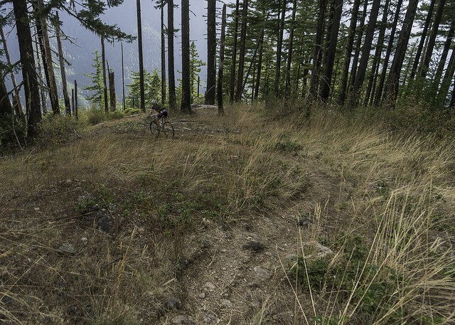
Navigating down the first steep bit, from the top of Heckletooth.
(taken on a previous trip) |
 |
Emily starts off one of the best descents in the area
(taken on a previous trip) |
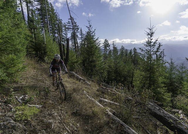 |
Smaller meadows on Heckletooth -- it's more about the riding on this trail!
(taken on a previous trip) |
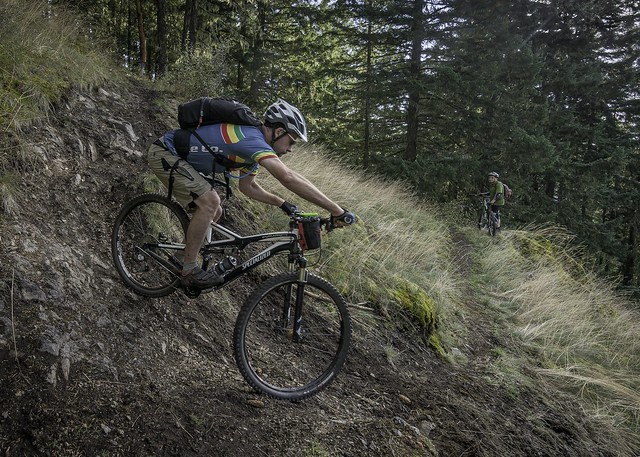 |
The author gets tight and steep
(photo by Emily Pfeifer; taken on a previous trip) |
 |
Emily rounds another
(taken on a previous trip) |
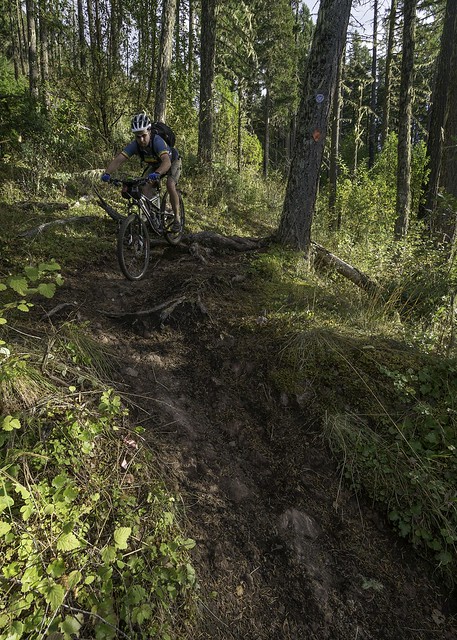 |
The author drops down another fun techie pitch
(taken on a previous trip) |
 |
Emily on a mellow climb between the descents
(taken on a previous trip) |
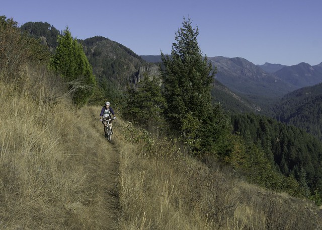 |
| Feeling accomplished! |
With my GPS notifying me that it was almost out of battery, I rode as fast as I could muster back to the car, which was still about 2 1/2 miles away, near the pub in Oakridge. When we did finally reach the car we were all pretty spent but happy to have completed such a bold adventure. It took us about an hour and a half to run the back shuttle and by that time I was more than ready for some chow. With that, we headed to
Stewart's 58 Drive-In for some much deserved burgers and shakes. I'm not sure if it was based on how hungry I was, but it was damn near the best burger I've ever had! By the time we got back to the house we had been gone ~12 hours so our dog was certainly happy to have us back.
Conclusion:
Bunchgrass certainly deserves its reputation as an ass kickin' epic. It’s probably good that it's usually not rideable until later in the season since you'll want to have a good fitness base before attempting to ride it. Furthermore, information on this ride is scarce, especially for the most current conditions, which you'll want to know since there is a high probability of excessive blow-down that could turn an all day epic into an unplanned overnighter; however there are a couple of bailout points that can be used if need be.
All of that said, Bunchgrass is an amazing adventure and one that I would highly recommend to anyone that has affection for backcountry style rides. The scenery along Bunchgrass ridge is simply amazing, whether it's your immediate surroundings of brightly colored foliage and burnt tree stumps, or the iconic Cascade landmarks far off in the distance. Of course this is followed up with an amazing descent down Heckletooth, which is a sweet way to end one of the most (if not the most) rewarding rides in the area!
The tracks from our ride:
A Google Earth view of the ride:
If this ride seems like your cup tea, here are a few more you might enjoy as well:
Grasshopper Mountain Trail
Chucksney Mountain Loop
O'Leary Trail
The Sawtooth Struggle