Having been to Mount Fromme (North Vancouver, BC) once before, I highly recommended it as one of our ride days during our 4th of July mountain bike trip to Bellingham, WA. Mount Fromme is one of the three main riding areas of the North Shore (aka “The Shore”), with the other two being Mount Seymour and Cypress Mountain. Fromme is located smack dab in the middle of the other two and according to the guide book (
here), considered the crown jewel of the three. Although I’ve not been to Cypress, my experience has been that Fromme feels a bit more polished than Seymour. Fromme is also the only one that requires you to earn your turns, by pedaling (or pushing) your bike up a gravel road. In fact, you also have to do a steep road climb up Mountain Hwy and out of the neighborhood just to get to the trail staging area; although this is about to change, since they're putting in a new parking area at the trailhead to accommodate the different user groups of this area.
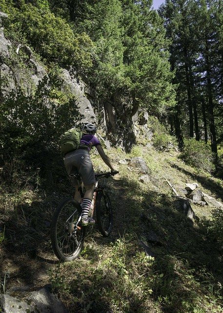
After riding at Galbraith on day one of our trip, we felt a bit warmed up, but I also knew that The Shore was on another level and was going to test our skills and fortitude. Instead of beginning on one of the easier trails, we decided to start off the ride with a bang, riding to the top and dropping in on Upper Oilcan. The climb itself (including the paved section) ascended ~1,600’ in just under 4 miles – luckily, the grade was friendly and the large trees shaded much of the road along the way. By the time we got to the top, we were all sweating and wheezing a bit, but the excitement was still high, as we knew we were about to drop into some of the most classic technical downhill on the planet.
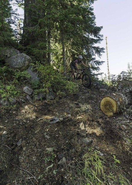
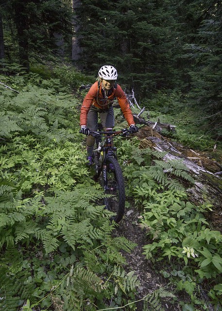
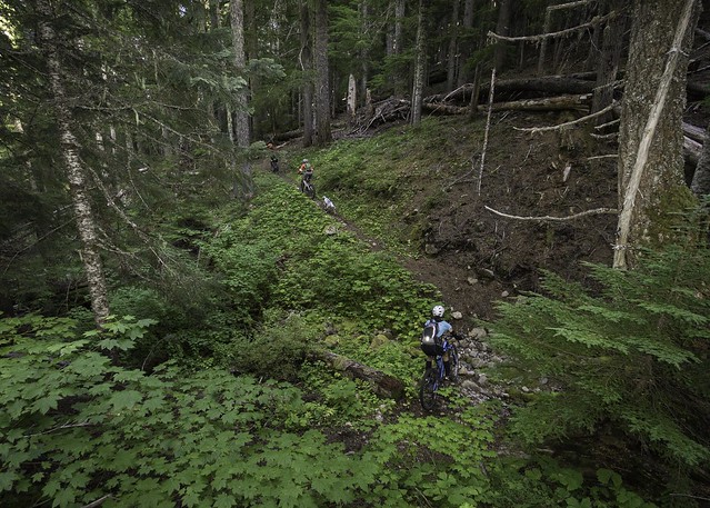
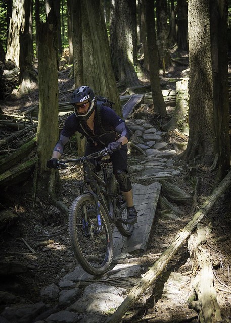
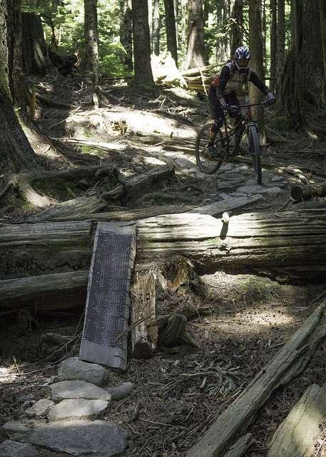
While the others armored up and unlocked their suspension, I jumped out ahead to set up for some photos. Upper Oilcan started off in earnest, dropping down the hill on a narrow technical path of rock and woodwork. This is the type of trail that will let you know how good your technical riding skills really are, with its relentless terrain that does its best to force you off the pedals. I eventually found a good place to pull over and take some shots, and soon after this, Chris and Roman came crawling down the trail, with an intense look in their eyes. Although I had done my best to explain what the trail would be like, if you haven’t ridden this type of terrain before, it’s almost impossible to describe. About all I could say at this point was, “Welcome to The Shore!”…
 |
| Chris gets acquainted with Upper Oilcan |
 |
| Ridin' it out |
 |
| Roman studies the next part of the puzzle |
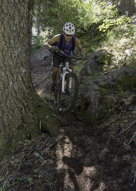
The three of us continued down Upper Oilcan, with me in the lead so that I could stop and take pictures at the more exciting stretches, of which there were plenty. There aren't many resting places on this trail, only less steep/technical spots to put a foot down. We were able to ride most everything, sans some of the more burly alternate routes. I did attempt to ride a few of the big ones, but I wasn’t feeling warmed up and ended up chickening out, partway through. Before long we reached the road, which we had originally climbed up on, signaling the end of Upper Oilcan. The trail had dropped ~300 vertical feet in about a third of a mile. Although it would be considered very short for a trail segment, it packed a big punch and felt quite a bit longer – I’m sure this would change once you knew the trail and could rally it without stopping.
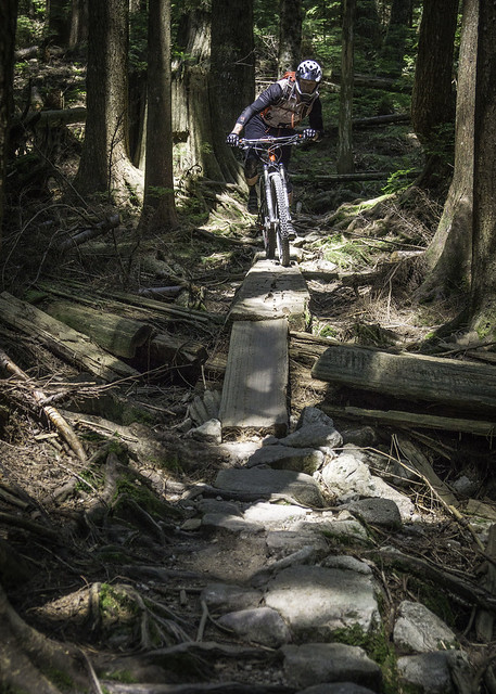 |
| Finding balance |
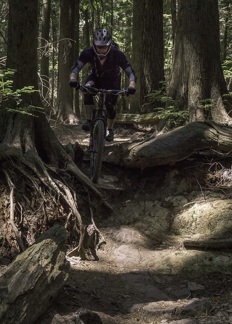 |
| Chris on a fun root drop |
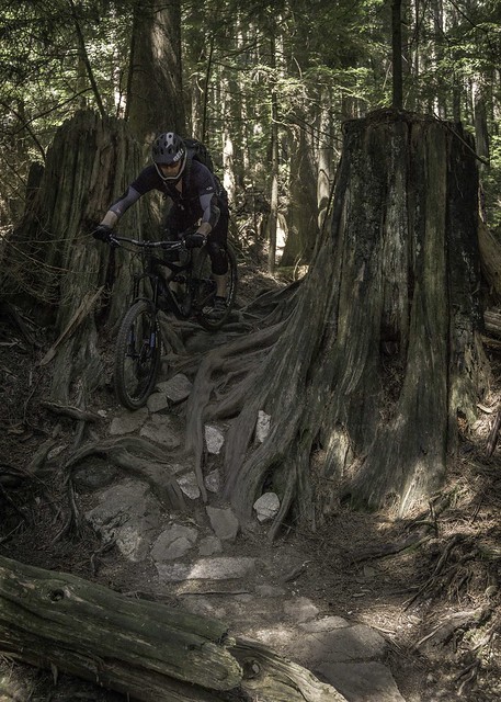 |
| More roots & rocks |
 |
| Chris, somewhere on Upper Oilcan |
Next on the ride agenda was “Espresso”, which I had heard really good things about. We quickly rode down the gravel road to the trailhead, where we found Scott awaiting our arrival. Just like Upper Oilcan, Espresso started off with a bang, this time in the form of a steep up & over wood ladder bridge. Just below, the trail dropped down a steep/rocky pitch, which proved a bit difficult to line up for, after exiting the ladder bridge.
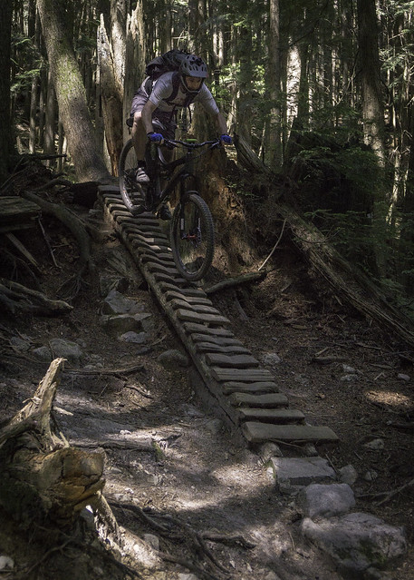 |
The author drops into Espresso
(photo by Chris Arnold) |
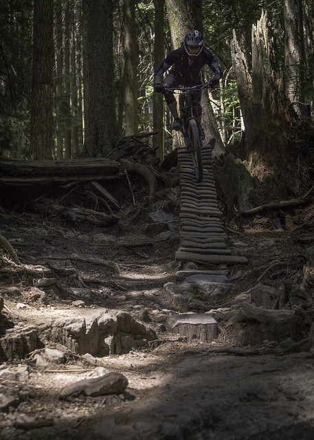 |
| Chris takes his turn |
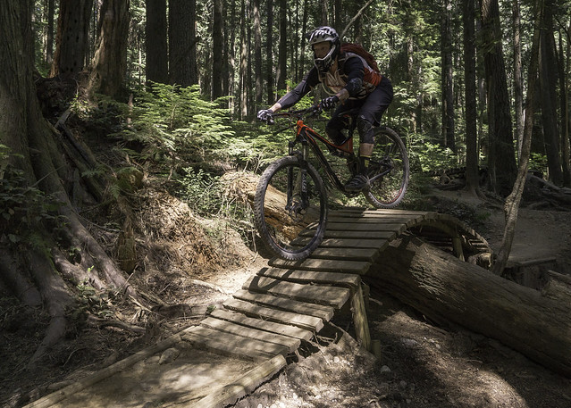
Below the initial plunge, Espresso made its way over (or past) many man-made wood skinnies and ladder bridges. Almost all of them were just off the ground, which made for good practice opportunities without serious consequences for a botched line. There were also a few taller skinnies/bridges, which were optional and beckoning anyone who was feeling spunky. It should be noted that some of the optional ones were fairly dilapidated, so if you haven’t done this trail before or recently, it would be wise to scout the line before attempting them. All of us were having a good time, riding most everything and sessioning some of the bigger ones, which allowed for some good photo ops. Espresso eventually smoothed out a bit and allowed for some higher speeds as we made our way to the bottom of the trail. I’m not sure I’d call it flow trail, but it did contrast the technical riding that we encountered on Upper Oilcan and the top half of Espresso. Before long, Espresso tee’d into the Baden Powell, a mixed use trail that was built by the Boy Scouts back in the 1960s.
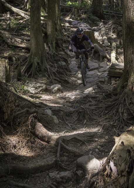 |
| Typical terrain at Mount Fromme - steep & techy |
 |
| Up & over |
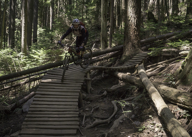 |
| Roman on one of a few fun ladder bridges on Espresso |
 |
| Chris, on the same bridge |
 |
| Focus |
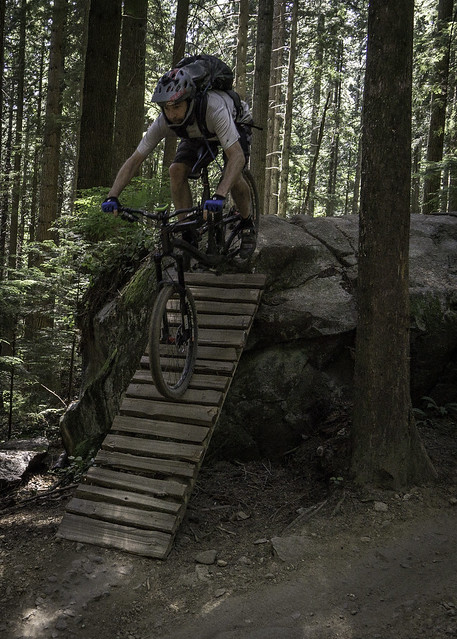 |
The author takes one of the optional lines
(photo by Chris Arnold) |
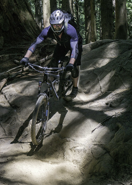 |
| Chris on one of the rare rock slabs on Espresso |
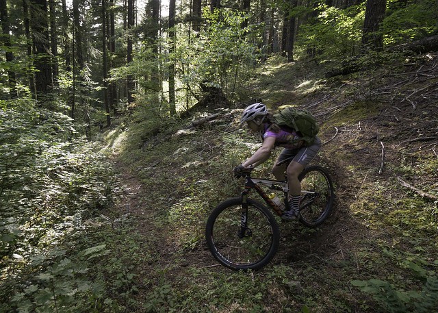
Although Baden Powell is a wide/mixed use trail with both small ups and downs, make no mistake, it is very technical and provides plenty of challenges, even for seasoned riders. Since we were heading back to the Mount Fromme staging area, we turned left, riding in a easterly direction. Much of the trail had us crawling along both rocks and roots, but without the assistance of gravity that we had on the previous trails. As we neared Mountain Hwy, the Baden Powell did descend rather rapidly, providing some very entertaining pitches and plenty of smiles along the way – super fun stuff!
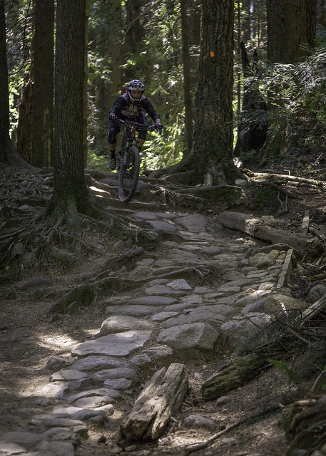 |
| Roman on a typical section of the Baden Powell Trail |
By the time Baden Powell dropped down to Mountain Hwy, I was feeling a bit tired but not ready to call it a day, especially since we hadn’t ridden the trail I was really interested in, “Ladies Only”, considered one of the classic Fromme trails and rated as double black. Neither Roman nor Scott were particularly interested in climbing back up for that one, but Chris was game. On my previous trip to Fromme, I had ridden both Floppy Bunny and Bobsled and I knew that Roman & Scott would love them. Figuring it would be a great opportunity to get in some more miles without the commitment factor, I suggested it to them, which they excitedly latched onto. With that, we split into two groups and headed out on separate rides.
Regarding Floppy Bunny & Bobsled, both are relatively short trails that require an equally short climb up the gravel road to access. Floppy Bunny is rated as a black diamond; although it’s technical in nature, it’s not overly difficult and could also be enjoyed by less advanced riders. In my opinion, it should be rated as blue, at least by Shore standards. Bobsled, on the other hand, is a flow trail, with lots of banked turns and roller jumps to play around on. This trail, which is rated as green, can be enjoyed by almost anyone who knows how to ride a bike; even expert riders would have a good time on this aptly named trail.
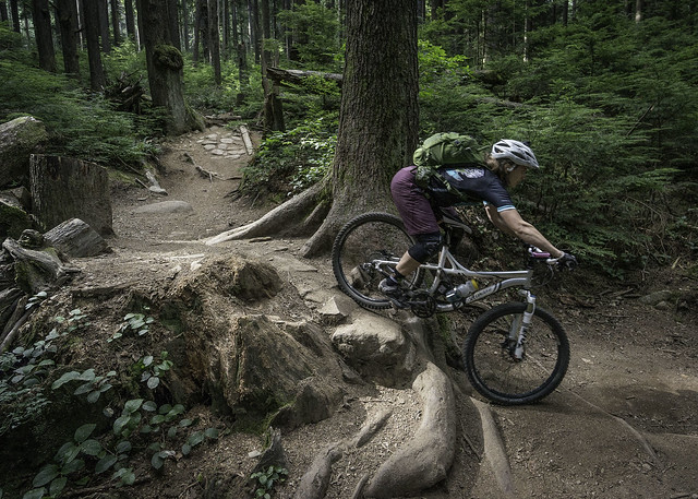 |
Emily finds a fun root drop on Floppy Bunny
(taken on a previous trip) |
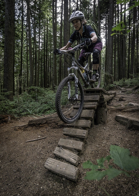 |
Floppy Bunny has some good ladder bridges to practice on
(taken on a previous trip) |
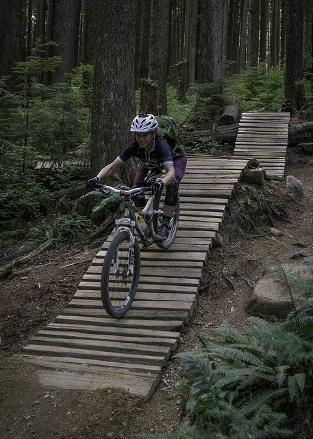 |
Another fun ladder bridge on Floppy Bunny
(taken on a previous trip) |
 |
The author exits a wooden berm, on Bobsled
(photo by Emily Pfeifer; taken on a previous trip) |
The second climb up Mountain Hwy was definitely at a slow & steady pace, and luckily the trees were still proving some shade from the afternoon sun. By the time I reached the picnic table at the top of Ladies, I was pretty glad to be done with the climbing for the day. Once Chris showed up, we hung out for a bit and rested, before dropping into the final descent of our ride.
Ladies started off fairly tame, but I knew it was only a matter of time before the bottom dropped out. Sure enough, a little ways into the trail, it happened. Although it wasn’t necessarily steeper than the other two descents we had done, almost everything was mandatory, unless you got off of your bike and walked. As it made its way down the hillside, it alternated between steep pitches of rocks/roots and wood ladders/skinnies. The action was non-stop but I somehow managed to find a groove, dropping into things that I would have normally scouted – things were just clicking! Of course there were a few bigger and/or more complex puzzles that I wasn’t able to put together, but all in all, I was happy with how much I was able to actually ride. I did have one good crash along the way, where the trail went up and over a fallen log, via a planked bridge. Basically, I didn’t muster enough speed and stalled out at the top. Unable to keep my balance or get in a pedal stroke, I fell about 3 or 4 feet to the ground below. Luckily no damage was done, other than to my pride…
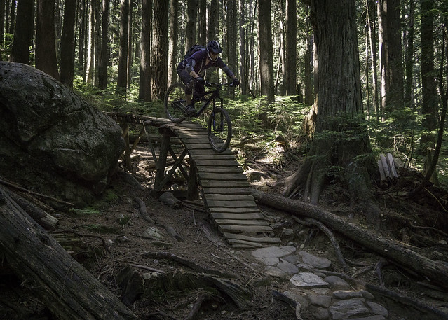 |
| Chris, discovering what Ladies is all about |
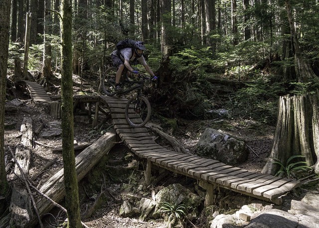 |
The author on a wooden roller-coaster
(photo by Chris Arnold) |
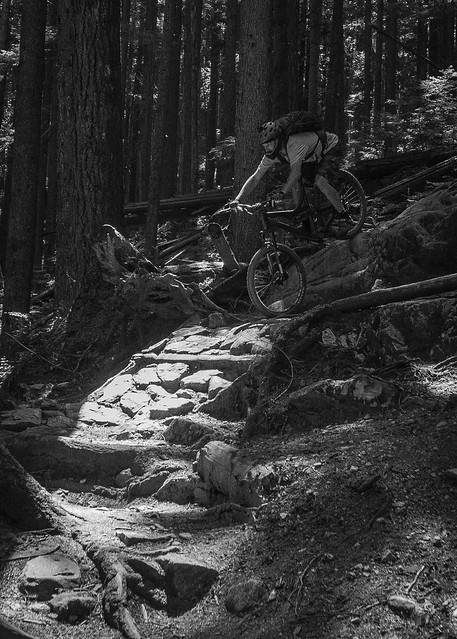 |
The author drops down a steep rocky pitch, somewhere on Ladies Only.
(photo by Chris Arnold) |
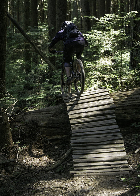 |
| Chris goes up and over another fun ladder bridge |
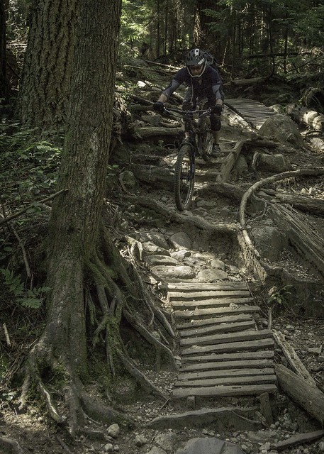 |
| A typical stretch on Ladies Only |
Just after the crash site, the trail made a short climb up to a bench, where it split in two different directions. It was at this point that I realized that my Garmin GPS was gone from my handlebars, apparently knocked off somewhere along Ladies Only. I assumed that it was probably back where I had crashed, but a quick search of that area turned up nothing. Since a new GPS was not in the budget, I knew that I would be hiking back up the trail, hoping it had fallen off in a highly visible location. Although I was not super stoked to be hiking up the trail, it did allow me to study the amazing trail work that had gone into creating such a masterpiece – an impressive amount of work and ingenuity has gone into building this trail! I was also taken aback by how steep and technical it was, which once again made me feel pretty good about what I was able to actually ride. Unfortunately, finding my GPS didn’t go nearly as well, and I soon found myself at the top of the trail and the picnic bench that marked the trailhead. It wasn’t until about halfway back down the trail that I caught a glimpse of it, laying on a pile of rocks, and barely visible from the confines of the trail. Relieved, I quickly jogged back down the trail, hoping to meet back up with Chris before he started getting worried.
Now back with my bike and Chris at the top of the small hill, we decided to go right at the trail intersection, since it appeared to be the most traveled. This section was very short, but provided a few more fun turns before reaching the Baden Powell trail at the bottom. Both Chris and I were feeling pretty spent by the time we got back to Mountain Hwy, where we had planned to meet back up with Scott and Roman. After finding no sign of them, we gave them a shout on the walky-talky and found out that they had already headed back to the car. With that we headed down Mountain Hwy, where I ended up walking my bike, so I wouldn’t burn through my brake pads – the road is wicked steep!
Once back at the car, we changed into our street clothes, before heading out in search of some food. Surprisingly, it took us some time to actually find a decent restaurant. After dinner, we headed back to our rental house. Although I won’t go into all the details, getting back across the border and into the US proved to be a daunting task. Both being behind a family that was detained with guns drawn, and having our own car searched after tying to transport avocado and eggs across the border, it took about two hours just to make it across. I guess it was somewhat understandable since it was America’s birthday…
Conclusion:
Riding Mount Fromme, for my second time, confirmed that it is truly a world class trail network. Due to its location in North Vancouver (BC), it could easily be considered as a destination, if combined with either Bellingham (WA) or the Squamish/Whistler areas. In comparison to Squamish and Whistler, I would say the trails at Mount Fromme are of the same (but different) build quality. However, the other two areas have a lot more trails and variety to choose from, even when you include the other two Shore areas, Seymour and Cypress. Although I can’t speak for Cypress, from my experience, Fromme is a more polished riding area than Seymour, and if I was going to suggest a North Shore area to a friend, it would certainly be Fromme.
As for the trails we did, all were a fantastic technical playground, which the planners and builders should be extremely proud of; I certainly wish we had this type of a trail network in our area. Ladies Only is considered one of the classic Shore rides, and although I haven’t ridden everything there, I can’t imagine it getting much better. You won’t find any huge single drops, but its relentless nature will challenge the focus power of just about anyone, especially if it’s your first time riding the trail. The Shore will definitely be on my ride agenda anytime I’m in the area, which for me is the highest praise you can give!
The tracks from our ride: