After reading about Cline Butte earlier this year, while researching trails to ride near Bend (OR), I knew I wanted to check it out. From what I could discern, it was a rather short climb to the top of the Butte, with two main trail options to descend on, Trail #1 and Trail #2 respectively. Supposedly, both trails provided a steep technical challenge with #1 being the easier route and everything being rollable. On the other hand, #2 was quite a step up in difficulty and known for forcing riders into doing more hiking than actual biking, with a few drops requiring mandatory air. Naturally, #2 was the one that actually intrigued me the most – not because I like to huck big shit but rather I always enjoy an adventure and the problem solving that usually goes along with them, even if it means lots of hiking. Regardless of which trail you choose to descend, one loop would only be about 3 ½ miles long with ~900’ of climbing, which was not really worth driving all the way from Eugene for, assuming it was the only thing you were planning to ride. That said, there is supposedly a XC trail that circumnavigates the Butte, which could be used to extend the ride.
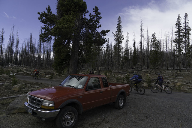
Fast forward to late April and the Disciples of Dirt's Spring Barbie Camp 2015. After finishing up a super fun shuttle ride on Trail 99 (through both snow and sun) , Jason Snook and I were looking to get in a little bit more riding. Of course we could have spun up some more miles on the Peterson Ridge Trail network, but both of us were looking for something with a little more bite, either in the form of technical riding or a steep descent. With Cline Butte still in the back of my mind, I suggested it as one possible option, which he instantly agreed to. We pulled out the map and laid it across the hood of my car to determine the best way to get there, since neither of us had been there before. The directions looked pretty straightforward and I guessed it was only about 20 minutes away from our camp (near Sisters). With the plan set we loaded up the Forester with our biking gear & my dog Grace and headed out.
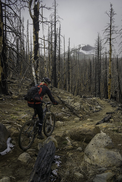
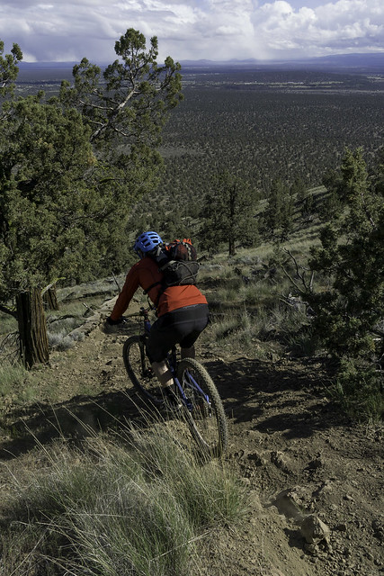
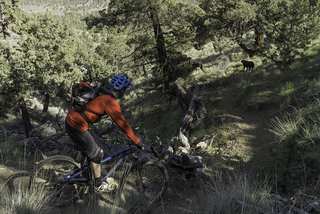
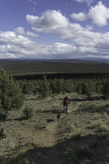
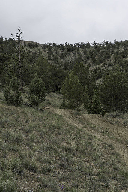
Navigating to Cline Butte went smoothly, although the gravel road up to Cline Butte is not very well marked and can certainly sneak up on you. We found the route without too much trouble and just a little way up the gavel road we parked the car into a pullout on the right side of the road. Our original plan was to get in two laps and decide which trail to descend on once we had reached the summit. Both my legs and lungs were feeling pretty tired right out of the gate and the beer that I had in camp certainly wasn’t helping me get up the hill. I was glad that Jason was also feeling less than 100%, since it was going to be a pretty slow grind for me. Grace on the other hand was well rested and seemed completely unaffected by the climb, seeming bored from time to time along the way. The road itself ascended at a pretty reasonable grade but it did have a couple of steep pitches and the surface was heavily washboarded. We eventually reached the spur road that would take us around the north side of the summit and to the start of the descent. It looked like you could also keep climbing up the road to a gate and then follow the fence line to the trail, but that seemed like the long way to go about getting there. We wrapped around the backside until we reached a clearing that had a few large boulders resting in the middle of it, which looked somewhat out of place.
 |
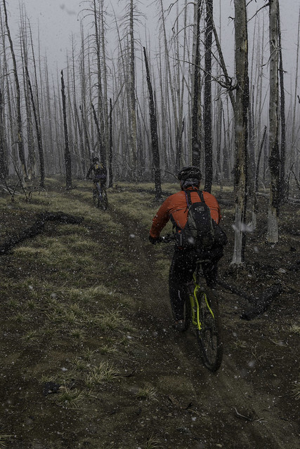
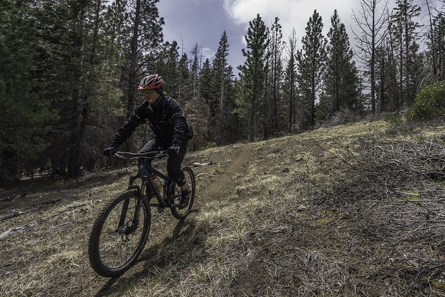
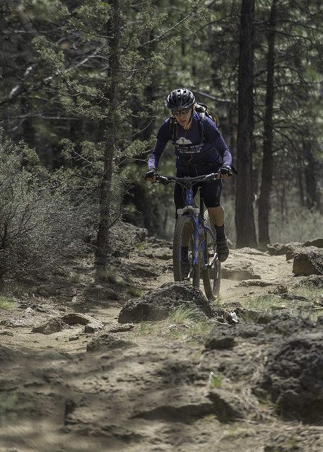
| Jason starts the short climb to the top of Cline Butte |
 |
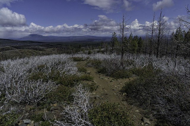
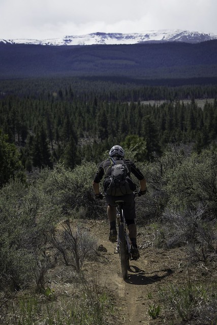
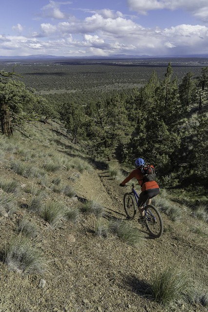
| Great views of the Sisters along the way |
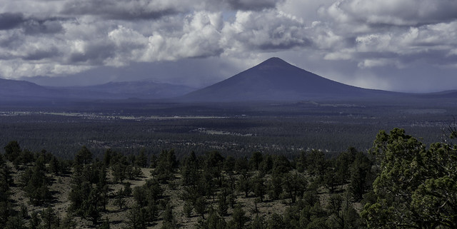 |
| and Black Butte! |
 |
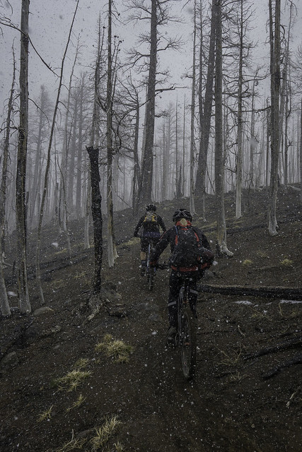
| Jason and Grace, about halfway up. |
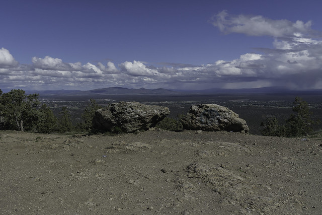 |
| The rocks that mark the start of the descent(s) |
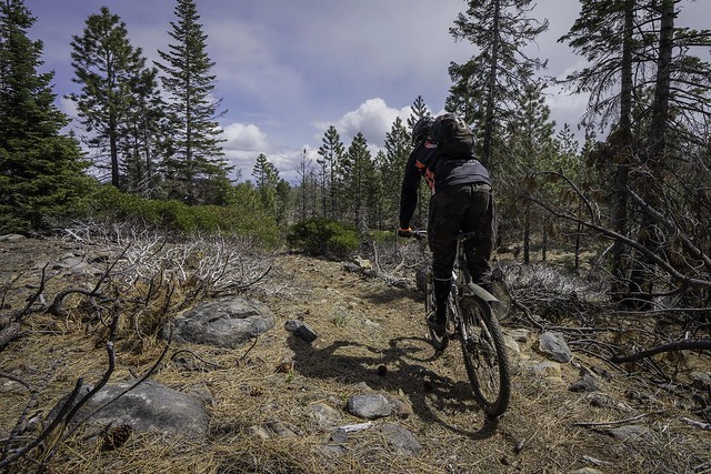
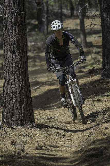
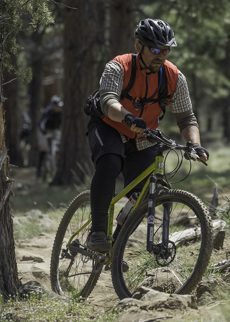
It was now time to decide what trail to ride down on. I quickly pulled out an aerial image from my Camelbak which I had printed from Google Maps to help locate the trails. It didn't take us long to find Trail #2 (the harder option), which started right at the fence line. We took a few minutes to assess the entrance drop and determined that we’d go for it, knowing that we might end up walking some of the drops lower down. We also planned for a fairly slow pace, with plenty of scouting and shooting photos. The entrance itself drops off or over a large boulder, depending on which line you choose -- The left line had mandatory air and the right was easily rollable. I offered to go first and ran it center, which was pretty steep but still rollable. All went well, but the run out was definitely loose and required some delicate braking to stay in control. Now below the drop, I quickly pulled out my camera and grabbed some shots of Jason coming through, who also had a clean line.
 |
| Jason finds Trail #2, right off the fence line. |
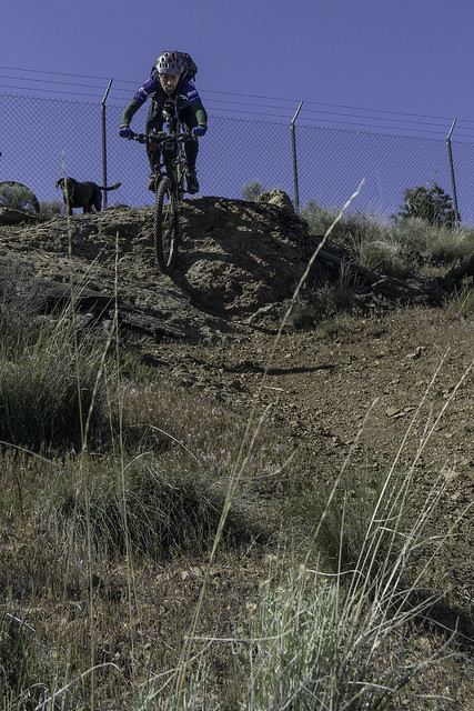 |
The author drops down the entrance to #2, while Grace looks on.
(photo by Jason Snook) |
 |
| Jason takes his turn |
 |
| Rounding the corner, just down from the entrance |
The next major drop we came to definitely had a hero line, with mandatory air and another loose run-out that led directly into another small drop. Luckily this one had an alternate line, which wrapped around steeply to the right of it. The big boy (or girl) line would send you off a ~6’ drop that had me felling pretty inadequate in both gear and skillset. Both Jason and I had wisely chose the ride-around, but even then, the loose trail surface proved to be a challenge.
 |
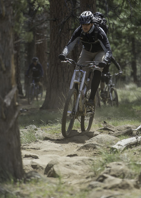
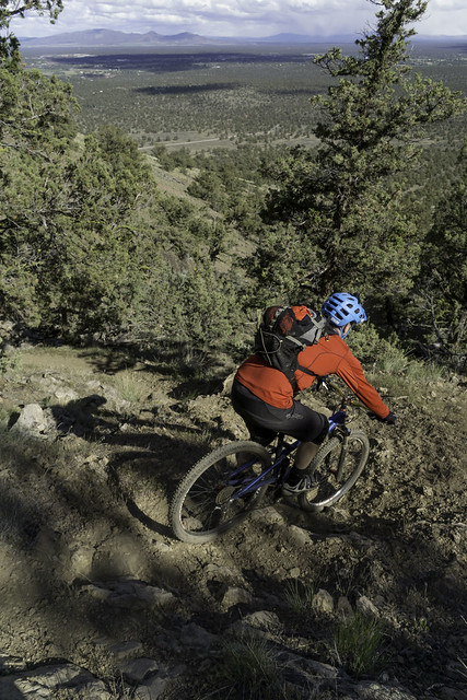
Jason takes the safe line around the second major drop.
Note the main line, which is the rock drop between the trees. |
 |
| The loose run-out to the drop that's shown in the photo above |
The rest of Trail #2 alternated between steep loose sections and technical rock drops, with minimal spots to relax and regain composure on. We essentially scouted every major drop on the way down, taking a few minutes to pick out a line or deciding if we even wanted to ride it. Most of the drops had at least one line that was rollable, with the main challenge being the steep/loose trail surface, either leading into or out of it. Of course there were a few that did require some air under one or both tires, but luckily they were fairly easy to walk.
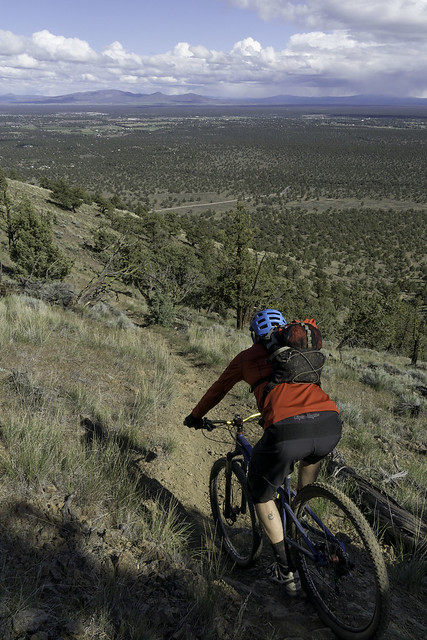 |
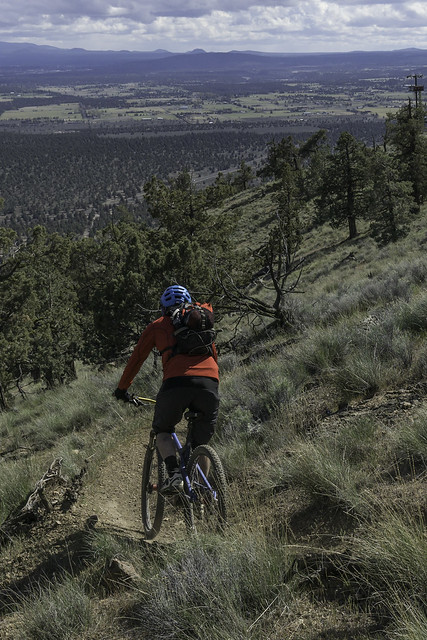
| Great views on the way down too! |
 |
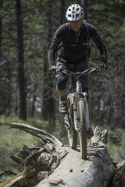
| A downed juniper, which now doubles as a technical trail feature. |
 |
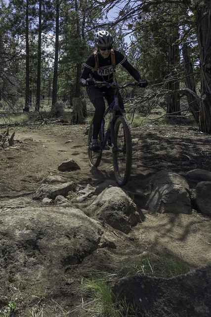
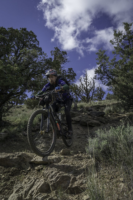
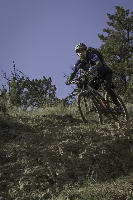
The author, partway down one of the bigger drops of the trail.
(photo by Jason Snook) |
 |
Easy does it
(photo by Jason Snook) |
 |
| Jason, doing his darnedest to ride not slide. |
 |
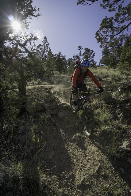
The author enters another steep one
(photo by Jason Snook) |
 |
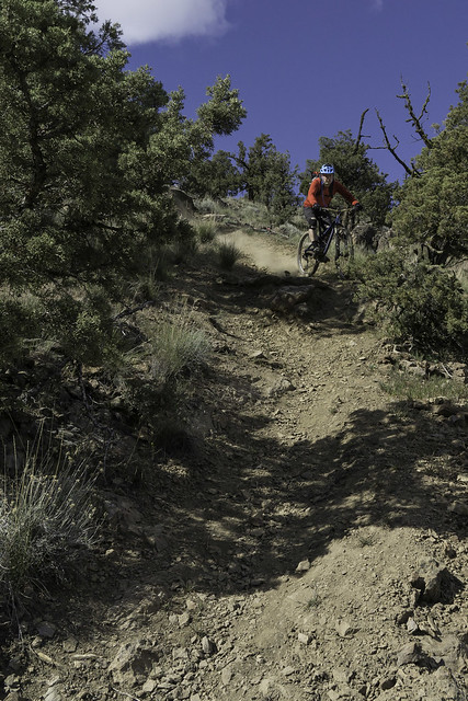
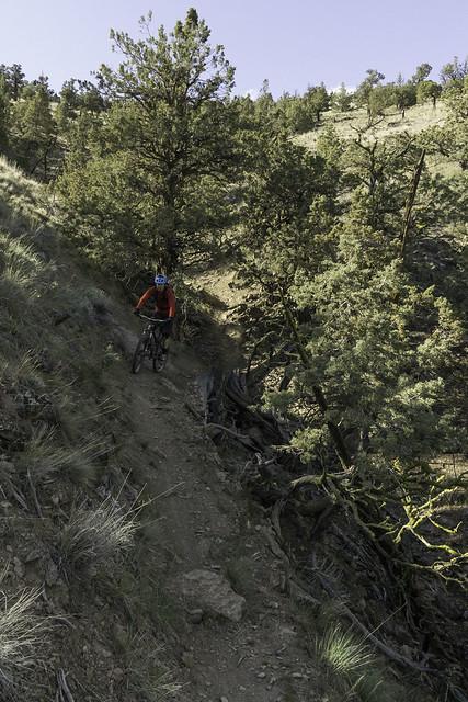
| One of a few steep switchbacks along the way |
 |
| One of the easier drops |
 |
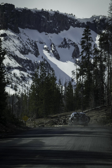
| Kickin' up dust, but not on purpose... |
 |
Jason, safely below one of the chunkier drops. The bottom step on this one was
not rollable and it would have been tricky to get your wheel up -- we both walked it... |
 |
| Snook finds a mellow bit to relax on |
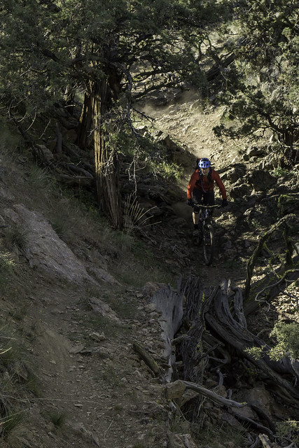 |
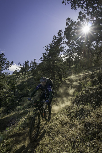
| Shreddin' the draw |
 |
| Jason exits the crux section |
 |
| Pretty easy going from this point on |
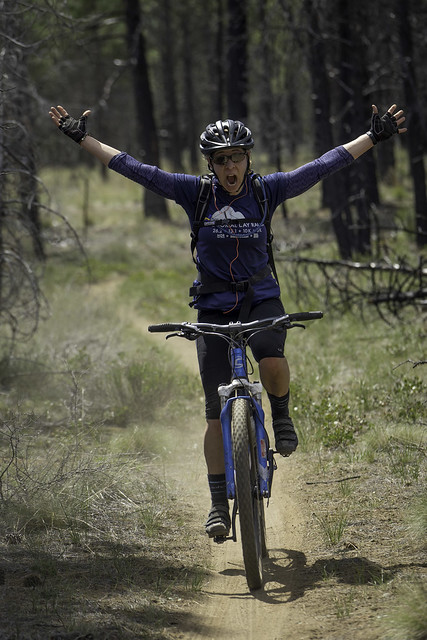
About ½ mile from where we started the descent, we exited the small draw that Trail #2 had ridden along, which signaled the end of the hard stuff. As we passed by the intersection with Trail #1, it continued down the hill at a much smoother and gentler grade. There were a few dirt jumps in this section that had quite a bit of upward kick to them and fairly flat landings, which aren’t really my cup of tea – to each their own, I guess…
 |
| Takin' it home, below the confluence with Trail #1. |
Getting back to the car was not as straightforward as finding the start of the trail, as we alternated between doubletrack and singletrack while trying to find our way. Since we knew the general direction of where we needed to go, we eventually got there, with very little backtracking. Back at where we had parked the car, neither of us had the energy nor the enthusiasm to ride back up to the top for another loop, as we had initially planned for. Furthermore, we wanted to get back to camp before it got too late and although I was really curious about Trail #1, sitting around and drinking free beer with friends seemed like a good contingency prize.
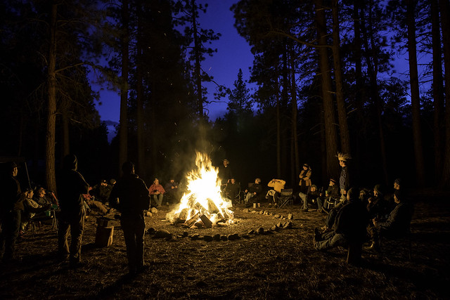 |
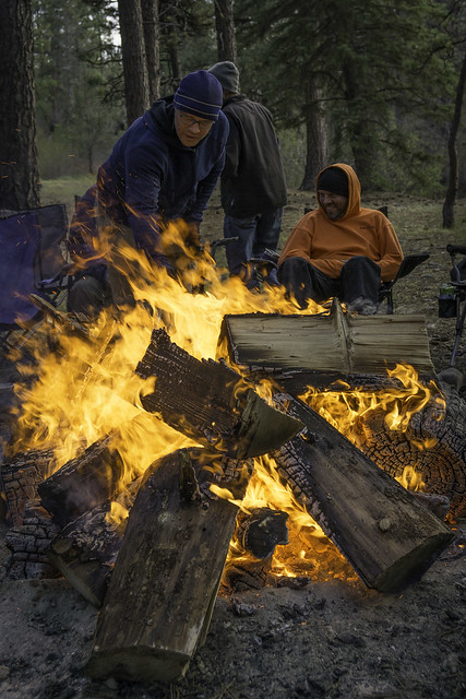
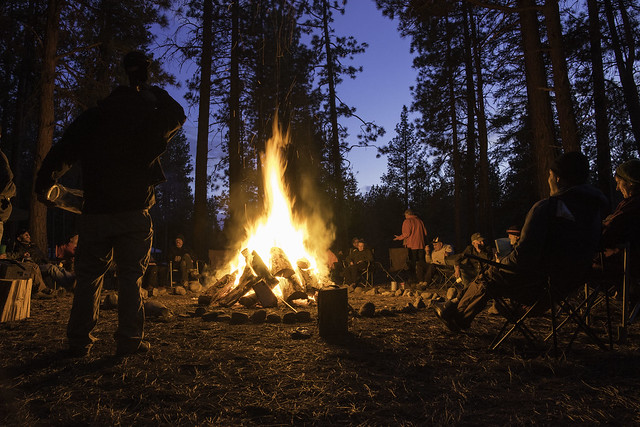
| Good folks and big fire! |
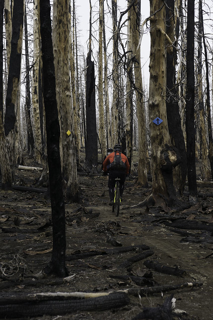
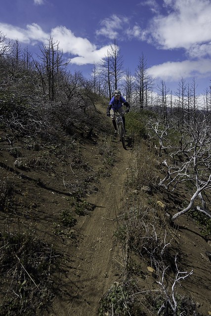
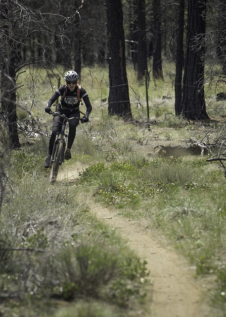
The following day we got in another group ride at Smith Rock, which is highly recommended, even if for the scenery alone. After that ride, Emily offered to shuttle me to the top of Cline Butte, since it was on the way home and it would allow Grace to tag along and stretch her four legs. Once she had dropped us off about as far up the road as you can, Grace and I set out to discover what this other trail was all about. Like trail #2 it started in the same general area and traveled in a southeasterly direction. However, instead of dropping into the wash, it zig-zagged down the hillside just to the east of it. Just as the descriptions I read had suggested, Trail #1 was also steep and technical, but not as difficult and everything was rollable. Even riding solo, I rode everything on the trail and never felt that I was putting myself in undue danger. Furthermore, if I hadn't stopped multiple times to take photos or corral the dog, I probably could have bombed the trail in less than 5 minutes – although it was really short, it was fun while it lasted!
 |
| The entrance to Trail #1 |
 |
| Grace gets out ahead to scout |
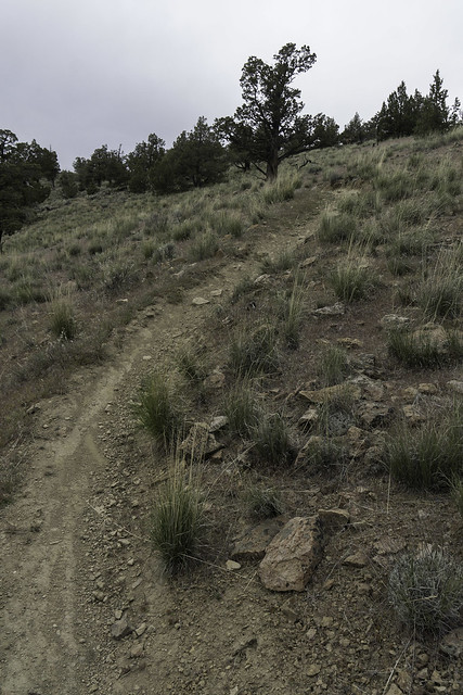 |
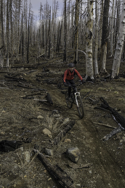
| Typical trail surface on Trail #1 |
 |
| A few banked turns on this one |
 |
| Some techie stuff as well |
 |
| One of the steeper/rockier drops on #1 |
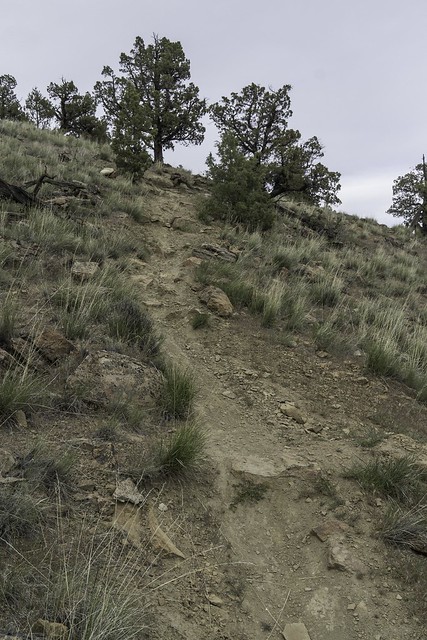 |
| More steeps |
 |
| A few of the jumps below the intersection with Trail #2 |
Having cured my curiosity and running some of the pent up energy out of Grace, I loaded my bike back onto the car and we headed back toward the wet side of the Cascades. We did stop in Sisters for some much needed pizza and coffee before driving up and over the pass, which was the perfect way to say goodbye to the dry side.
First impressions:
Cline Butte is a very interesting riding area and I'm glad I finally got in a few miles there. Since I haven't ridden the XC trail(s) that wrap around the base of the butte, I don't feel that I can pass judgment for the network as a whole. That said, and from a strictly DH standpoint, I would say that it might be worth getting in a lap or two if you're already in the area but I certainly wouldn't call it a ride destination; of course it's not sold as that either. In fact, there is very little public information about it. It actually reminds me a bit of
Syncline (in the Columbia River Gorge), although not as good. To me the main drawbacks are the shortness of the descents and the extremely loose trail surface. Regarding the latter, I do my best to abide by the "ride don't slide" motto, but even with delicate brake work it was almost impossible not to skid out or kick up dirt from time to time.
From reading the above statement, you would think that I'm completely down on the these trails, however that is certainly not the case -- I think they would be a great local ride option if conditions were favorable (i.e. not too wet or too dry). Also, technically speaking, #2 is the hardest trail I have ridden in the Bend/Sisters area, which I consider a plus, since I actually enjoy riding trails that force me to walk a few of the drops and give you something to work up to. I will say that there are a couple in there that I would probably never ride, at least with my current bike setup. With someone of my DH skill level, you need all the help you can get, and more travel and raked-out front end would certainly help fill in some of my deficiencies. Of course a set of pads might be a wise idea for this area as well...
Tracks from Saturday (Trail #2):
Tracks from Sunday (Trail #1):